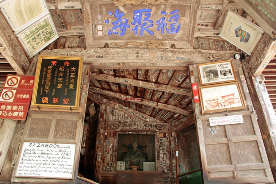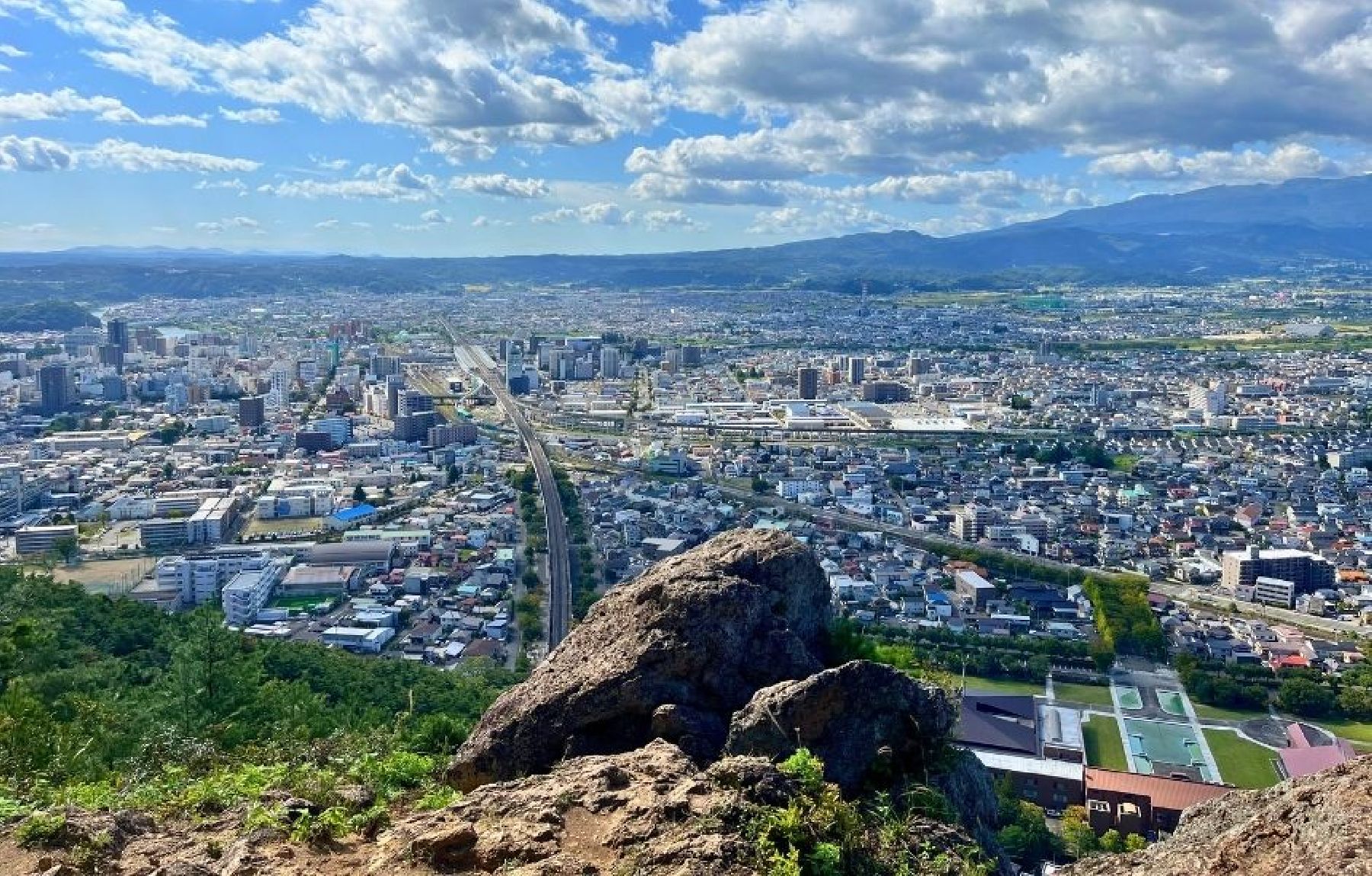
Mt. Shinobu (Shinobuyama)
Mt. Shinobu, with a total altitude of 275 meters, is one of the landmarks of Fukushima City. It is estimated that it formed about 500.000 years ago when the Fukushima basin caved in and Mt. Shinobu became an isolated hill, which later became the object of multiple local poems, stories, and legends.Visitors can hike up Mt. Shinobu for unobstructed views of the cityscapes. Hikers of all levels can try climbing Mt. Shinobu, as its peak can be reached in a few hours and many parts of it can be reached by car.Each year in April there is a spring festival with cherry blossom night illuminations that attract hordes of visitors. Summer and autumn are also great times to follow the hiking routes at Mt. Shinobu.A spiritual power spot for locals, Haguro Shrine can be found at the top of the central peak, where there is also a giant straw sandal that weighs about 2 tons and is 12 meters in length and is believed to be among the biggest in Japan. The sandal is paraded along Fukushima City each year in August during the Waraji Festival. Also in Mt. Shinobu, you can find the Shinobuyama Neko Inari Jinja(‘cat shrine’), and the Gokoku Shrine, along with several parks.For stunning views of the city, including the Shinkansen bullet train tracks, head to the Karasugasaki Observation Deck on the western side. Located nearby are the Fukushima Prefectural Museum of Art and the Fukushima Prefectural Library. @Redicoverfukushima