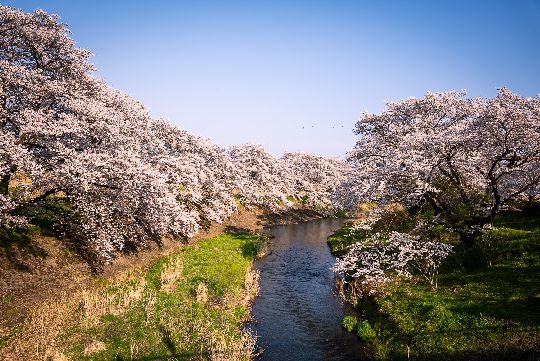
In 2026, Fukushima’s east coast is no longer defined solely by its past. Along the Pacific shoreline, towns once struck by disaster are gradually filling with new buildings, new businesses and cautious optimism. One of the most revealing ways to understand this transformation is simply to walk through it, map in hand, on a Fukushima Footpath walking tour.
What is a Footpath course?
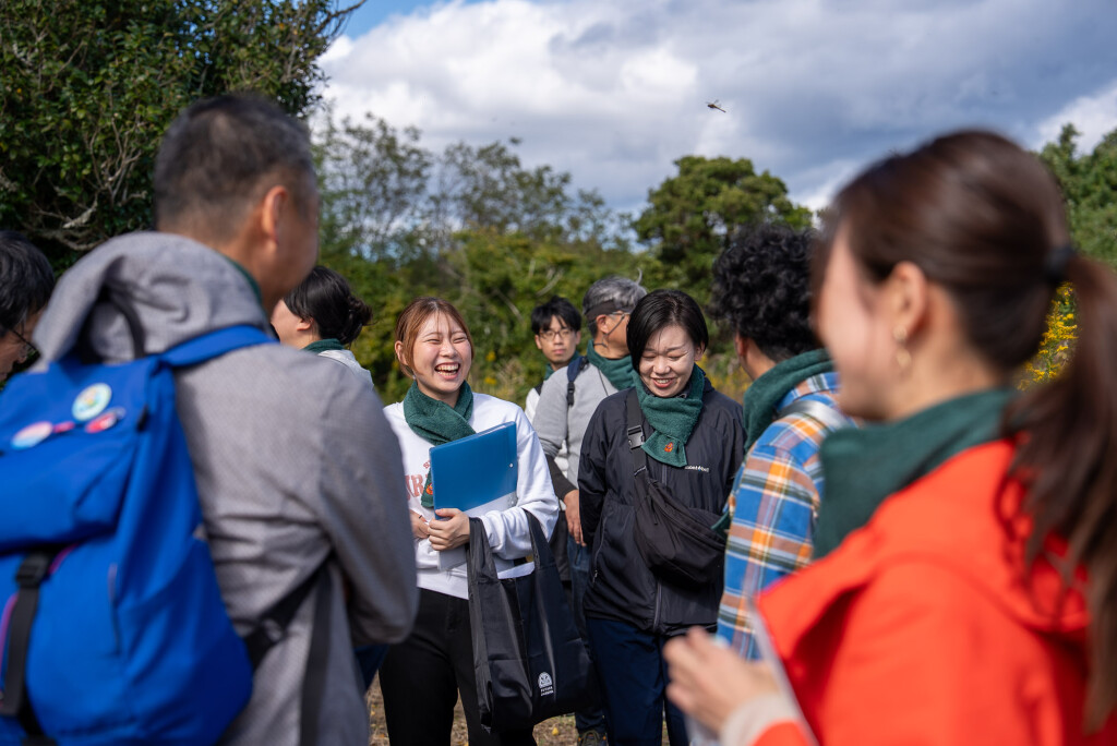
Threading through towns along Fukushima’s east coast, a Footpath course is a self-guided walking route that particularly explores areas heavily affected by the earthquake, tsunami and nuclear accident of 2011. These courses follow ordinary streets, coastal paths, shrines, parks and newly developed districts, with visitors using a map to explore at their own pace, stopping where they choose and taking time to absorb the surroundings.
The initiative began as a way to draw people back to communities still rebuilding their numbers following the 2011 evacuation order. By encouraging visitors to walk through these towns, the project aims to increase awareness of both the disaster’s impact and the steady, visible progress of reconstruction. On foot, you can see details that would otherwise pass unnoticed; new seawalls, freshly laid roads, modern public buildings, and empty plots waiting for future homes.
What makes them worthwhile?
Walking these courses with friends turns the experience into something more than simply sightseeing. You might find yourself chatting with a shop owner in a newly opened café or meeting residents who have recently returned. Spending money locally – even on a coffee or lunch – directly supports communities rebuilding from the ground up.
You’ll see construction sites beside quiet fields, or brand-new community centers next to long-standing shrines. The courses offer visitors a chance to see the region with their own eyes, and witness firsthand how the coastline is reshaping itself day by day with the support of its vibrant and regrowing community.
Futaba: A link from yesterday to tomorrow
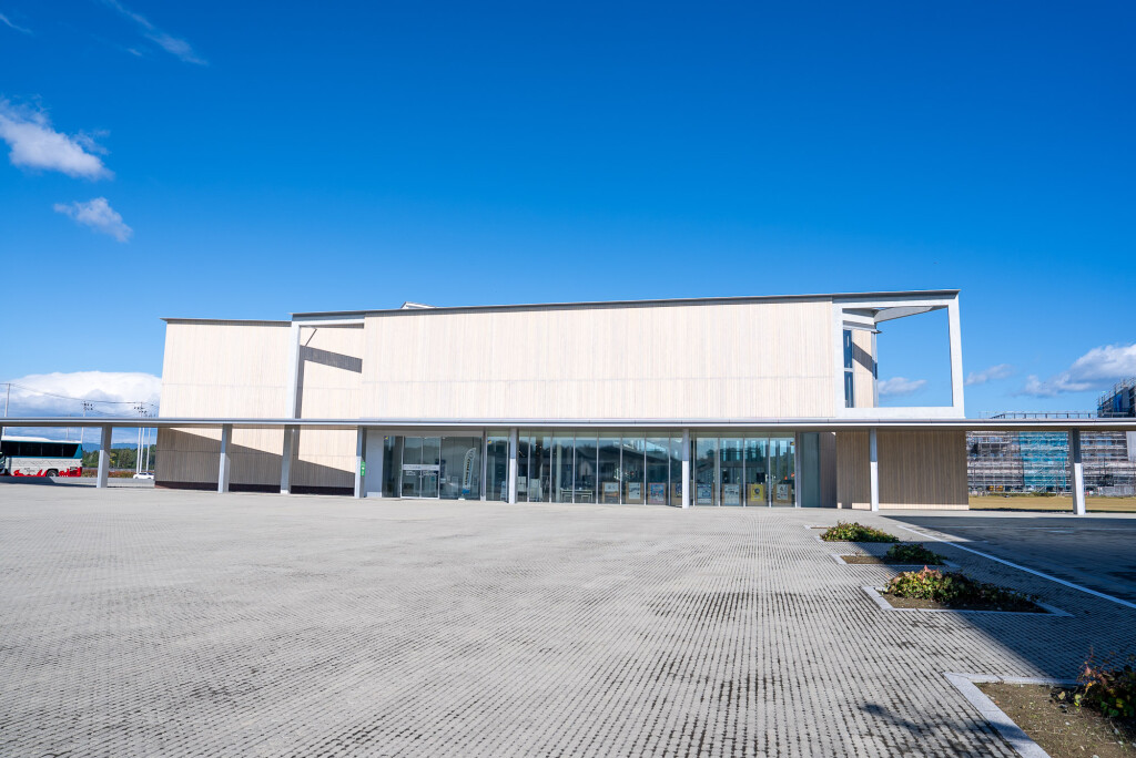
Futaba, once home to thousands of residents, became the last municipality in Fukushima Prefecture to reopen after the disaster. Today, its population is still small, and walking here makes for a quiet but reflective afternoon. The course begins at the Great East Japan Earthquake and Nuclear Disaster Memorial Museum, a beautiful facility completed in 2020 as an archive detailing life before, during and after the 2011 tragedy.
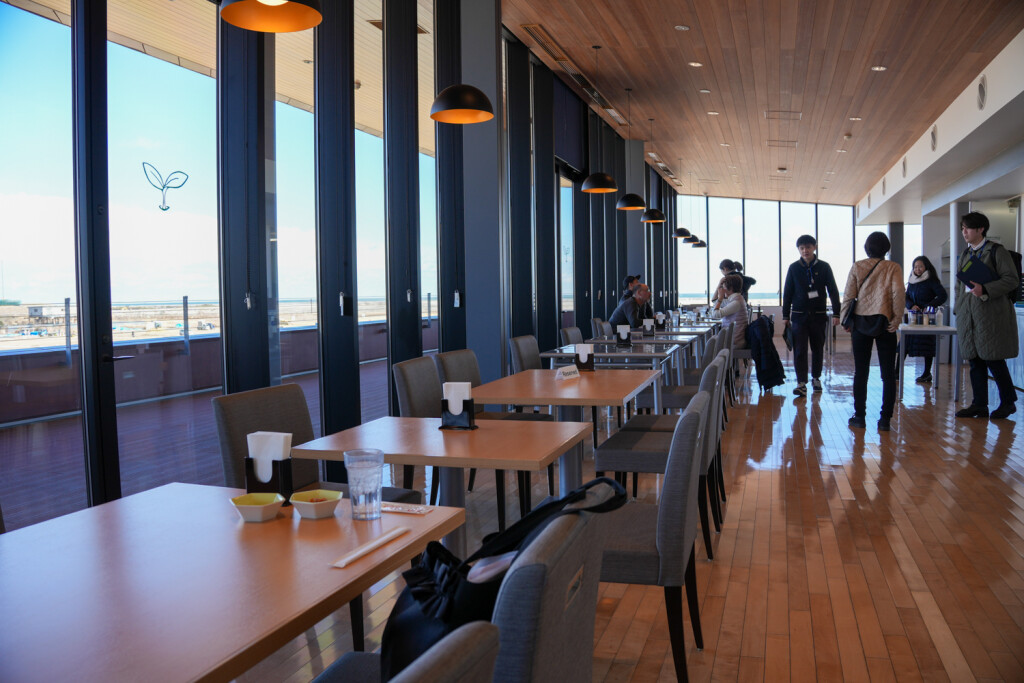
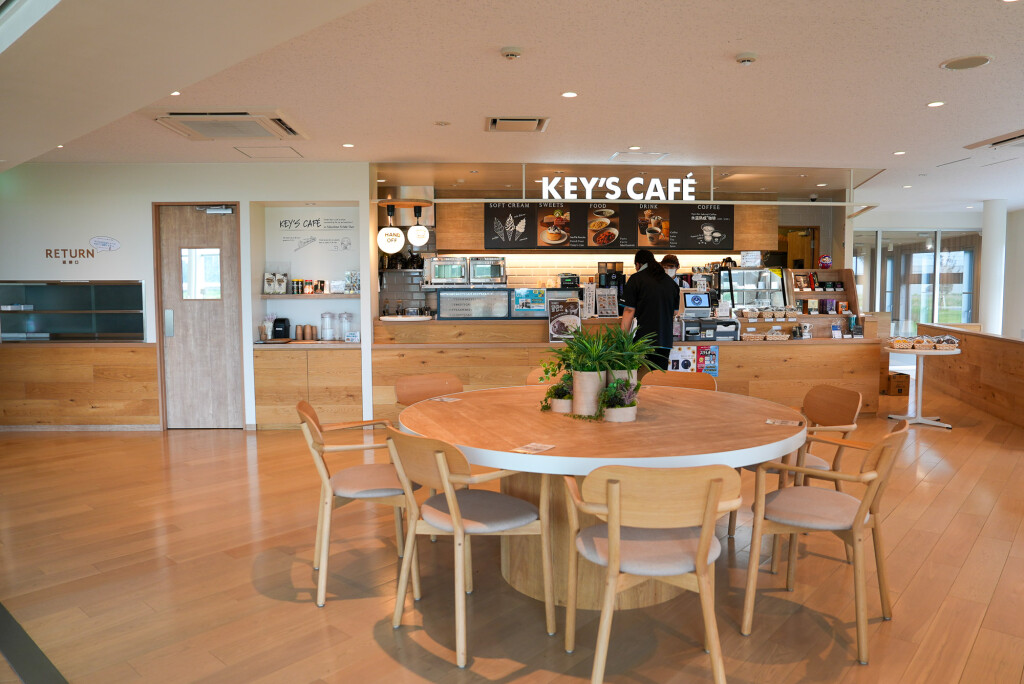
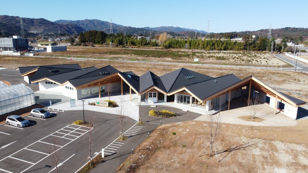
Next door is the Futaba Business Incubation and Community Center (F-BICC), equally modern with restaurants, conference facilities and a great view from the rooftop.
From there, visitors walk through Futaba’s natural scenery, through wide plains where neighbourhoods once stood, while ongoing infrastructure work indicates the area’s rapid progress. In Futaba alone, there is a large hotel under construction by the museum, while the planned Fukushima Reconstruction Memorial Park is taking shape along the coast, designed as a large green space for reflection overlooking the Pacific.
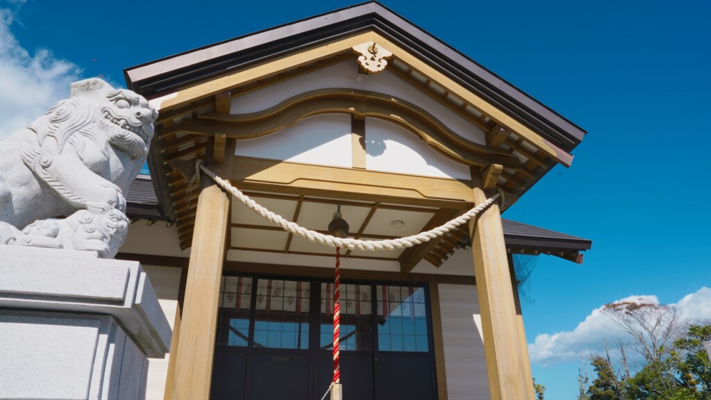
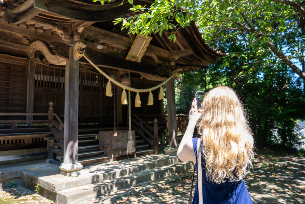
The walking course takes trekkers past Nakano Hachiman Shrine, famously rebuilt after once being swept away by the tsunami, and a rare example of a newly built shrine building.
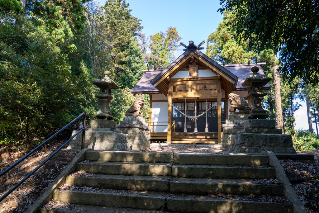
Further uphill, Morotake Suwa Shrine sits among trees, offering a view across the town toward the Pacific Ocean, with a small memorial to those who found refuge there during the tsunami.
Eventually the course leads to the Asano-Nenshi textile factory, built here in 2023. Masami Asano, company president, chose Futaba as the site for the new factory to promote and stimulate Futaba’s economic recovery.
The factory now stands as a beacon for Futaba’s revival, and contains a cafe restaurant where visitors can stop for lunch.
Okuma: Forging new infrastructure
Like Futaba, Okuma is in the midst of large-scale reconstruction. Entire districts are newly built or being developed, creating a townscape that blends fragments of the old with ambitious new planning. The footpath loops through the former downtown area, where parts of the historic main street survive alongside wide new roads and modern housing for returning residents.
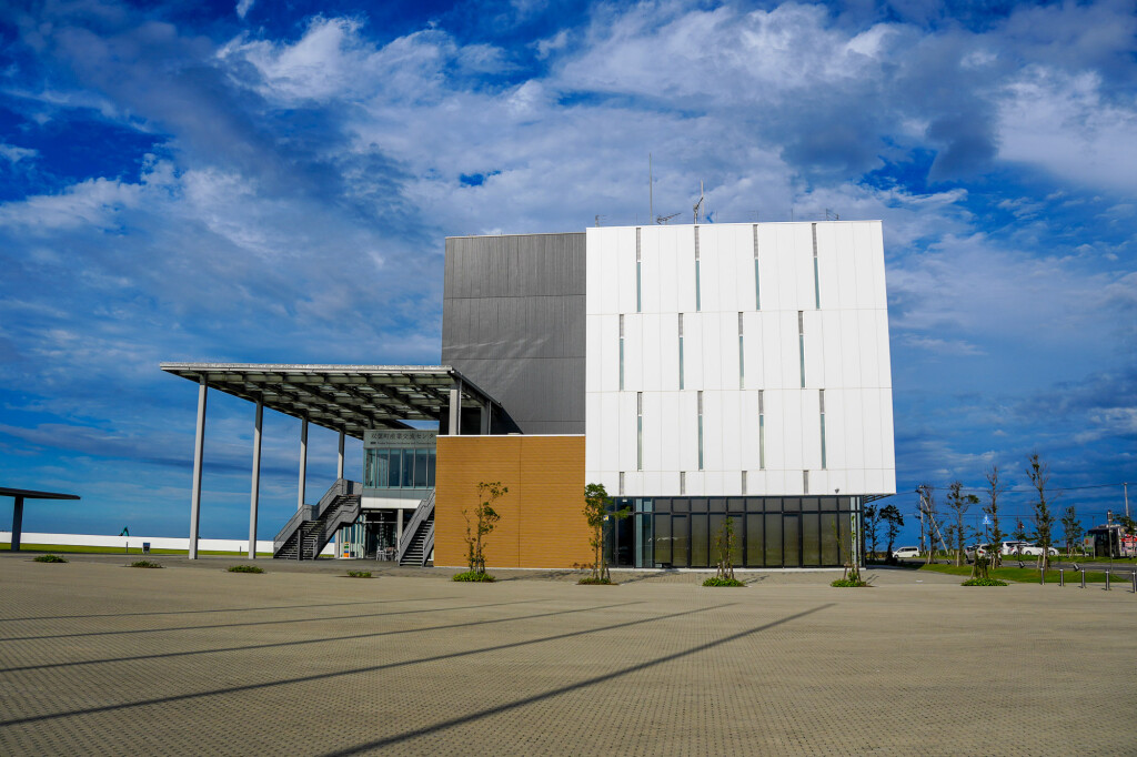
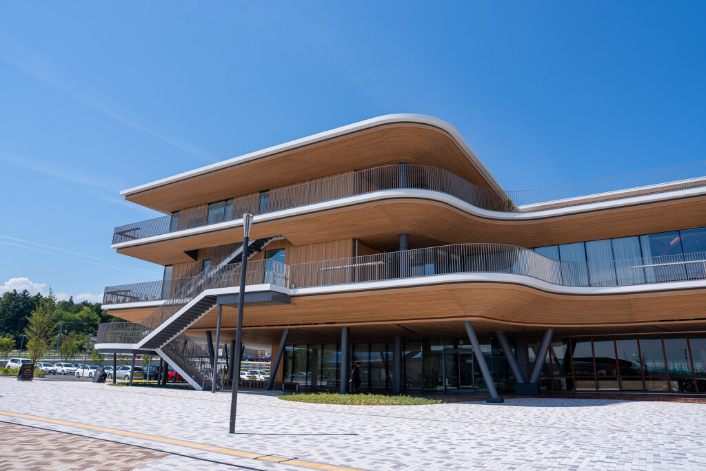
The route begins at the contemporary multipurpose complex CREVA, with coworking spaces and event halls reflecting the town’s focus on attracting businesses and entrepreneurs. Nearby, Kuma Sun Terrace provides a convenience store, restaurant, kid’s play room and everyday services.
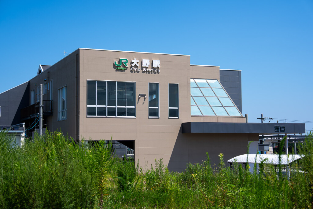
The new Ono Station building connects the town to Joban Line railway, while rows of azaleas and ginkgo trees line sections of the route.
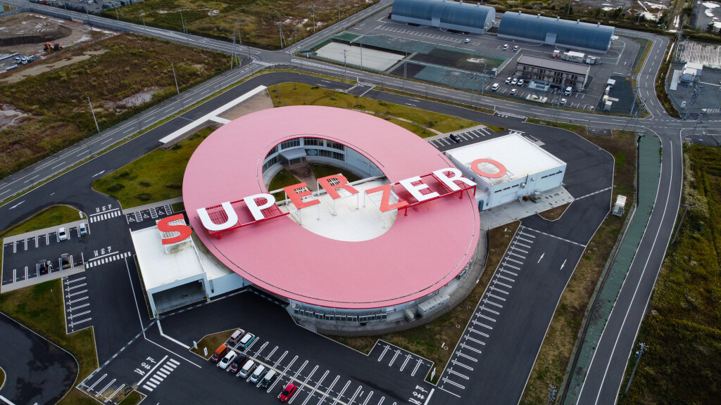
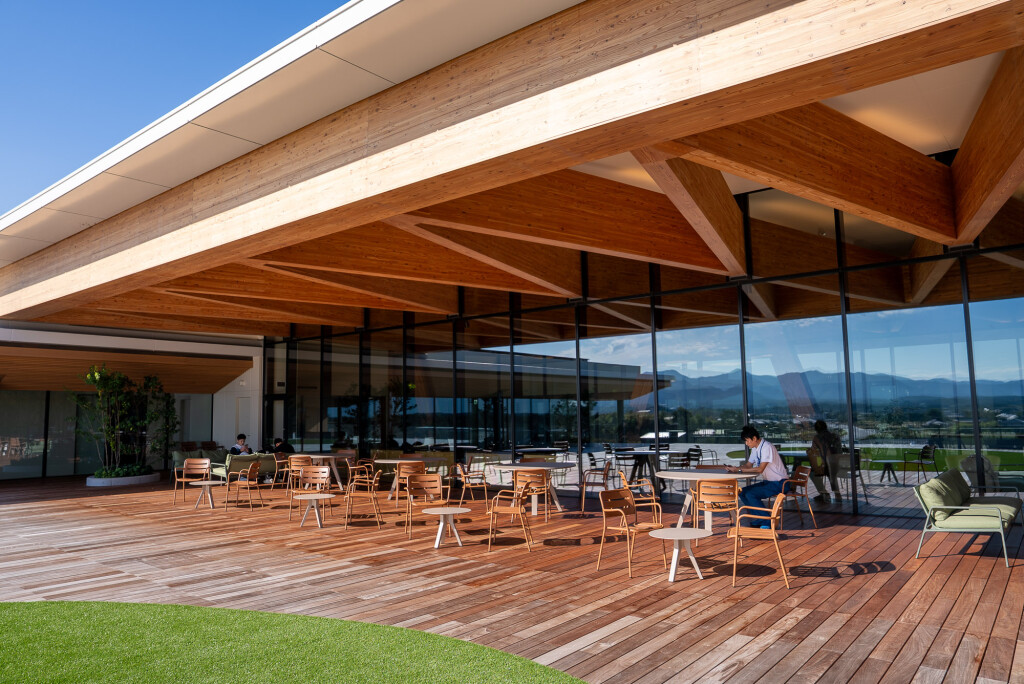
Further along stands Fun Eat Makers, a modern wooden facility combining a café and a hydroponic farm that grows produce using advanced indoor techniques. Nearby, the Okuma Incubation Center was once an elementary school, and now hosts companies and community events. Officials have suggested that in five or ten years, the town may look entirely different again. Walking the footpath today captures Okuma at a pivotal moment – actively constructing the infrastructure and social spaces that will define its next chapter.
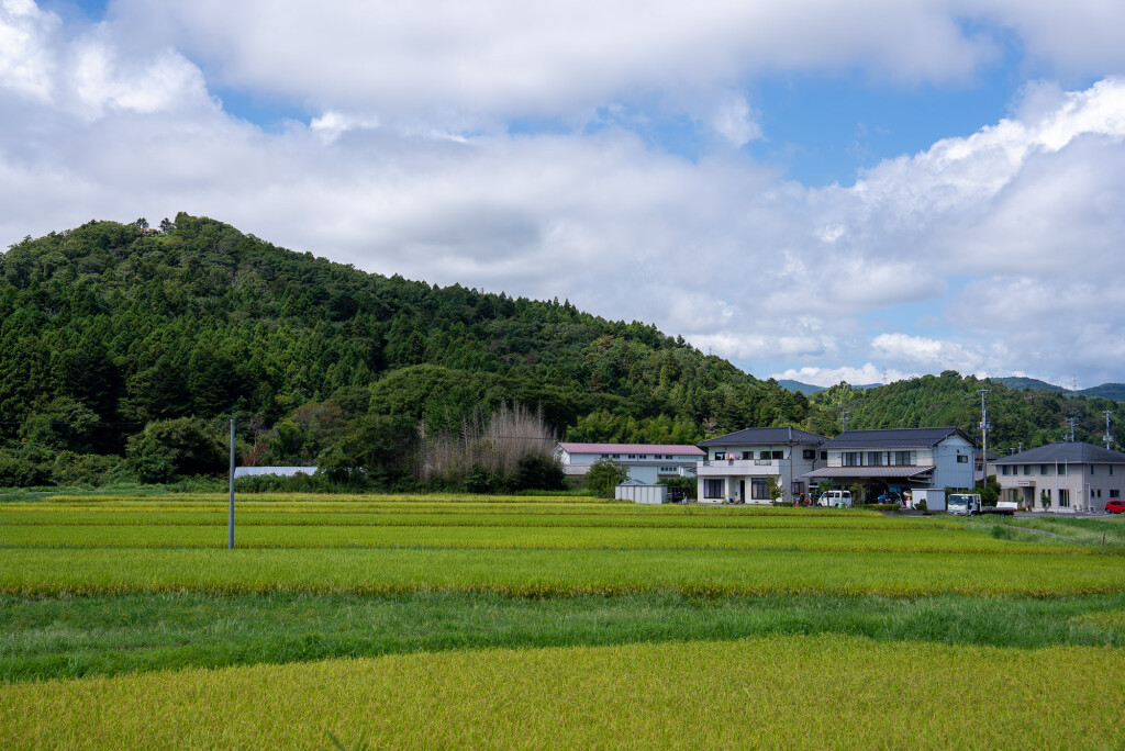
Hirono: At one with nature
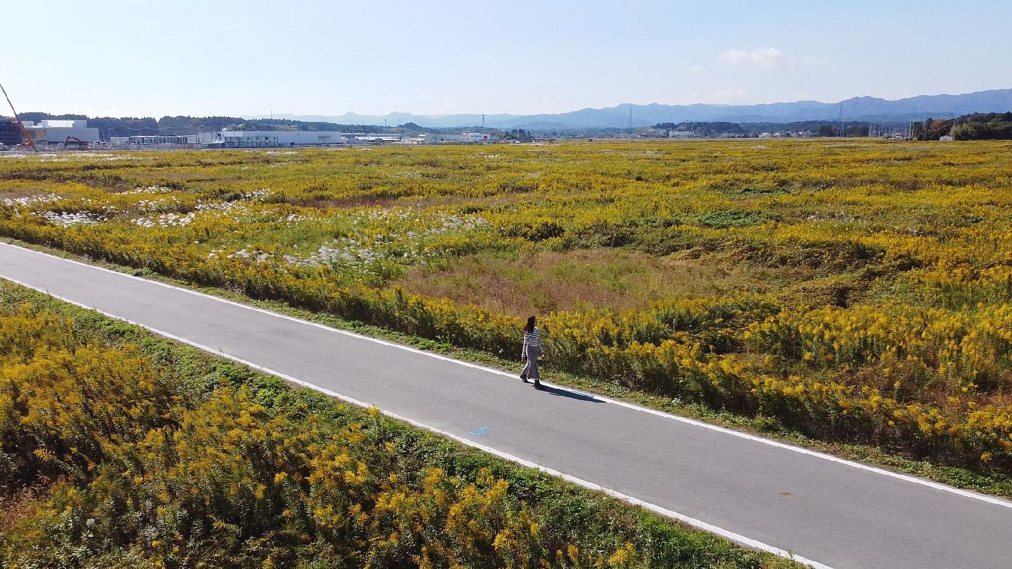
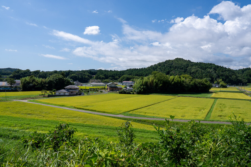
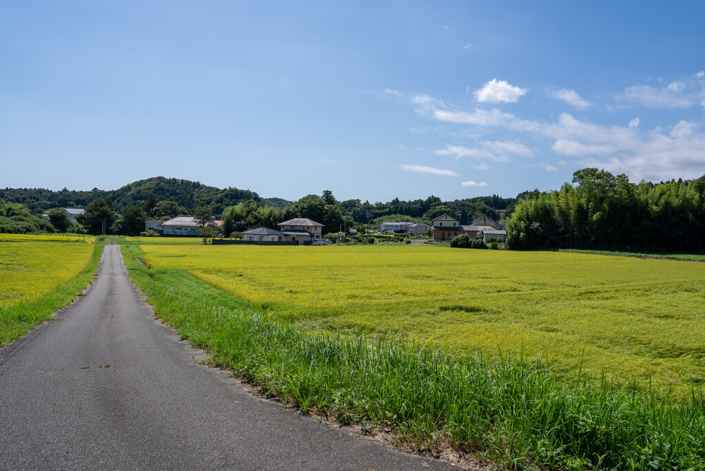
South of Futaba and Okuma, Hirono has a peaceful farmland atmosphere, reminiscent of even a European countryside. Beginning at a renovated Hirono Station – with a new community exchange center scheduled to open nearby – the footpath quickly transitions from town streets to open greenery.
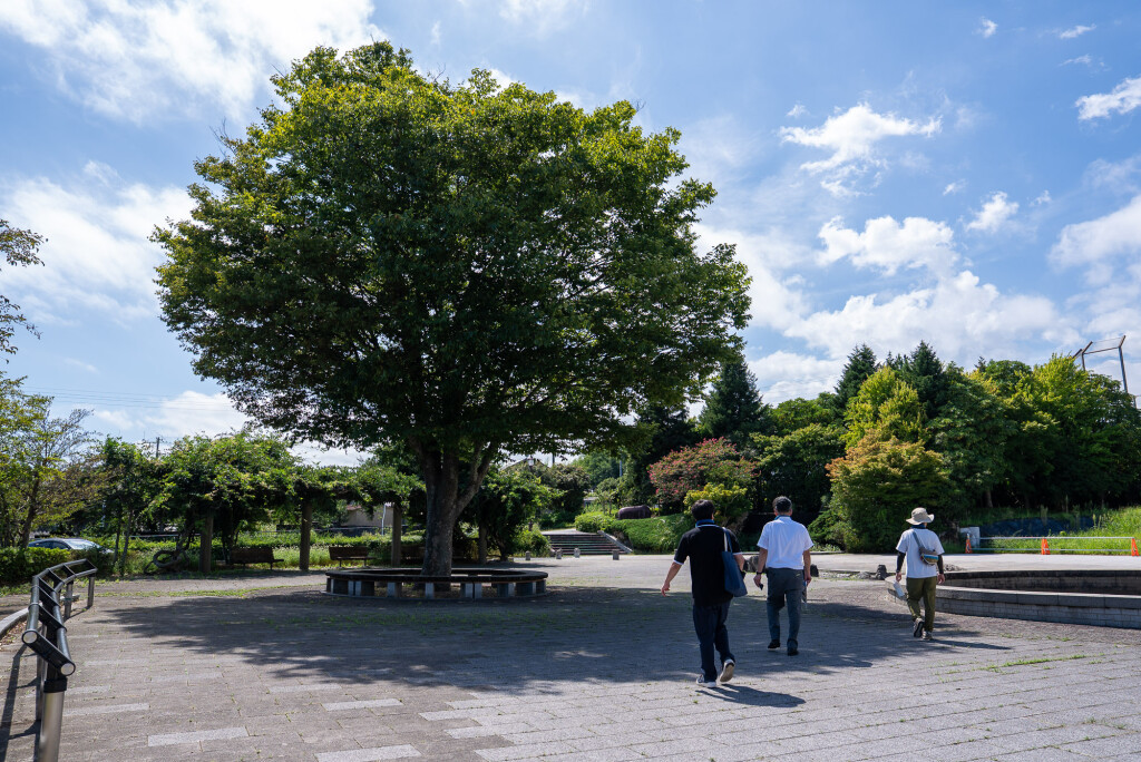
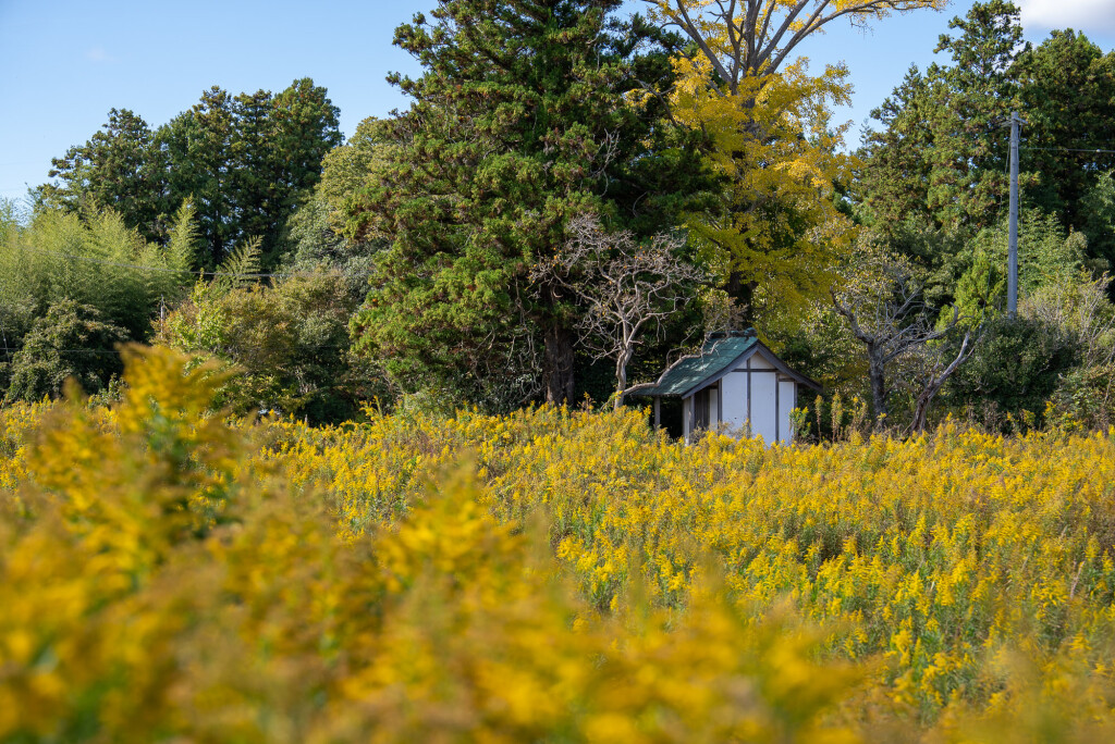
Tsukijigaoka Park provides an early highlight, including a monument connected to a well-known children’s song associated with the area. Beyond the park, vivid green rice paddies stretch across the landscape in growing season, backed by low hills.
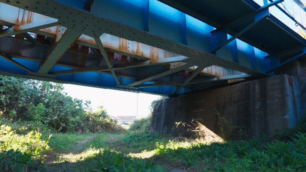
Walking under the Joban Line railway bridge, you may be lucky enough to watch a train passing overhead on its way headed north to Sendai or south to Iwaki.
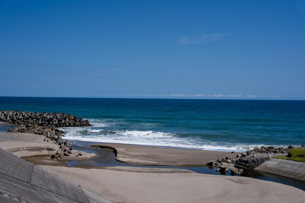
As the path approaches the Asamigawa estuary, the horizon opens toward the Pacific. The Oshu Sunrise Viewpoint draws visitors in the early morning, when light spreads across the water. Coastal windbreak forests and disaster-prevention green spaces line the shore, representing both preparedness and resilience.
Together, Futaba, Okuma and Hirono reveal different aspects of Fukushima’s east coast in modern times: a mixture of reconstruction, natural beauty and cultural significance. By walking a Footpath course, you can witness these changes at a leisurely pace – and see for yourself how the region is reshaping its future.
Looking for other ideas during your visit? Check out more details about the Hamadori region, and learn more about the Footpath programme (Japanese language only) on the official website.