Fukushima’s Revitalization Educational One-Day Trip
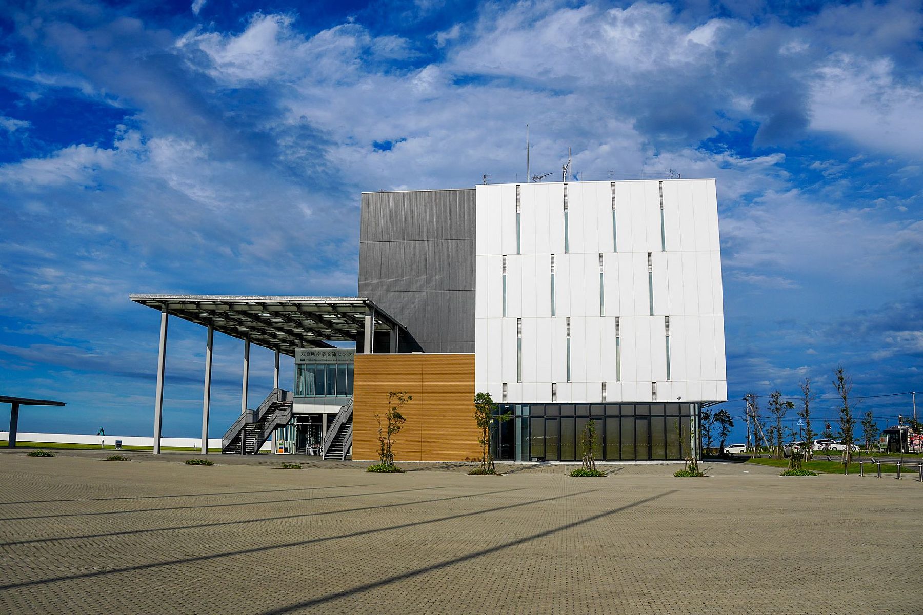
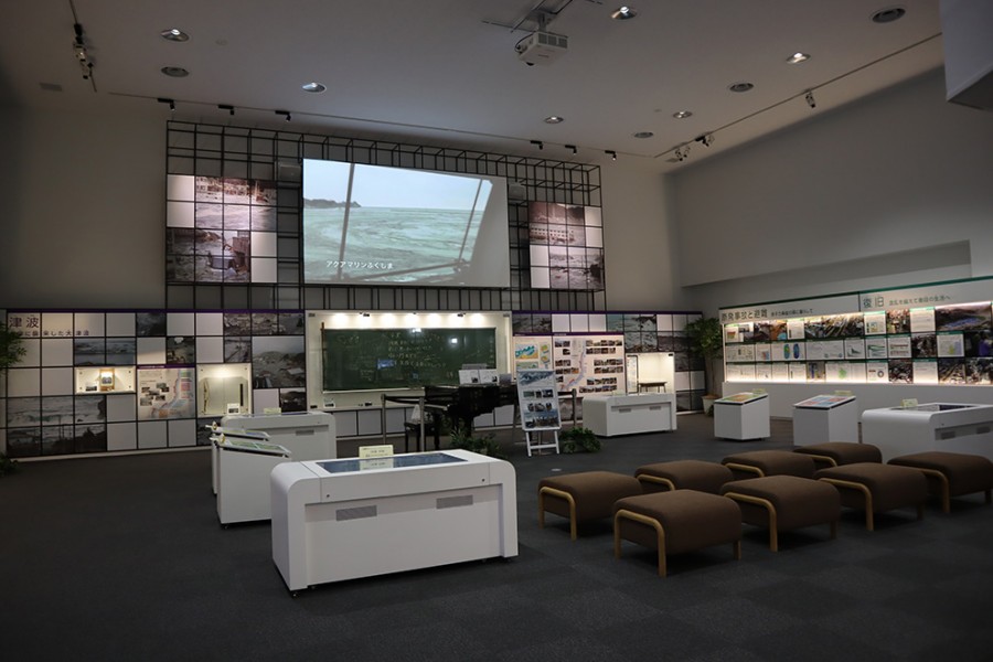
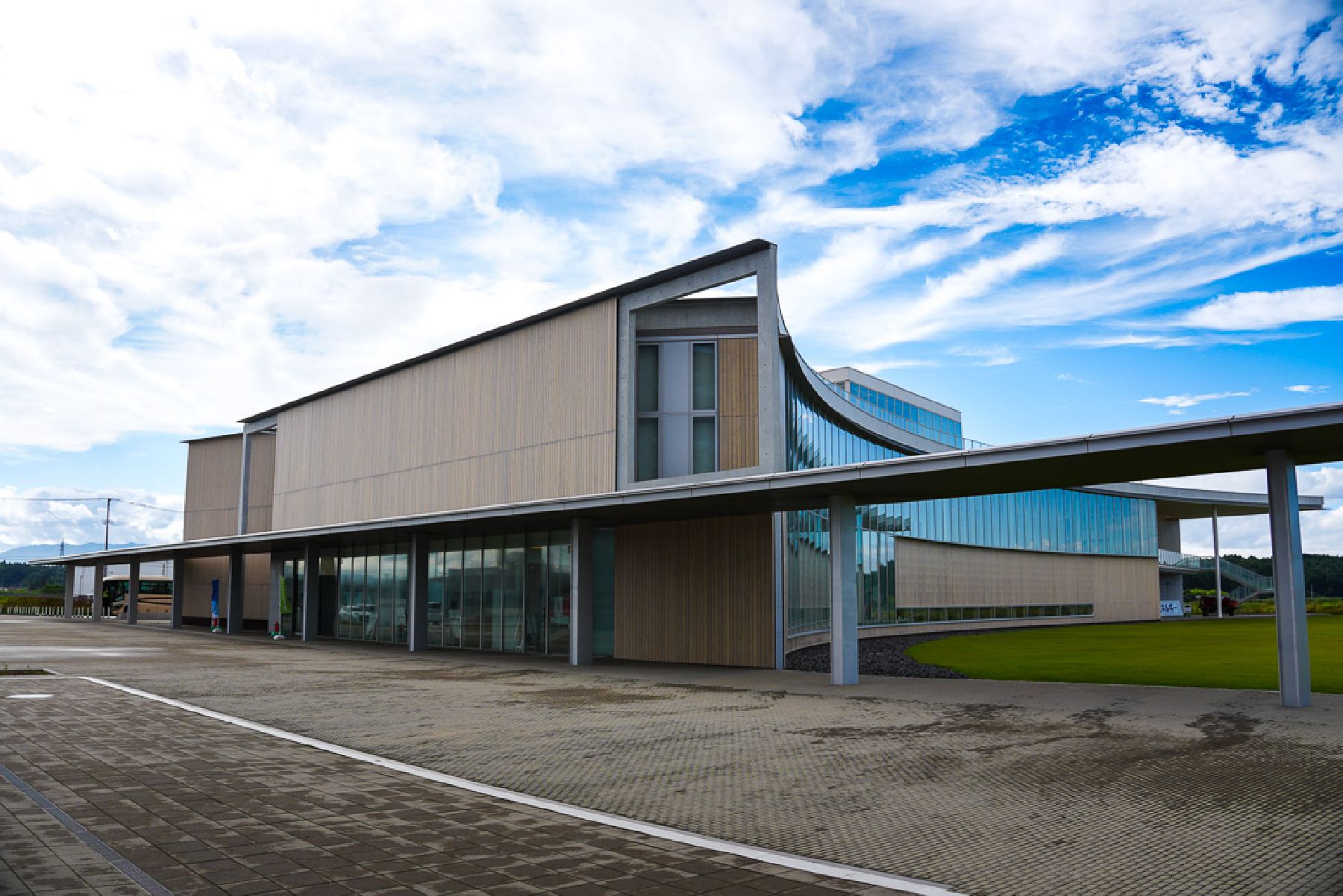
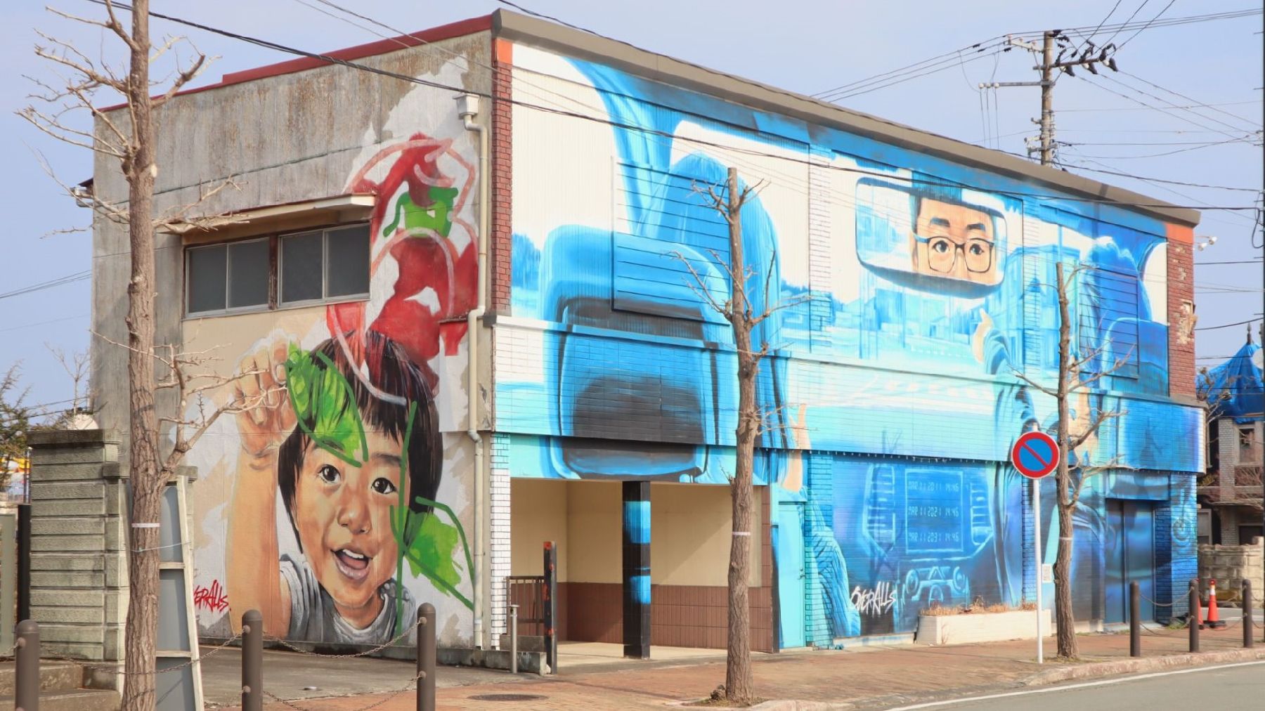
This is a model itinerary for visitors who would like to learn about Fukushima’s revitalization. The coastal area of Fukushima is the only place in the world to have survived a triple disaster: an earthquake, a tsunami and a nuclear disaster. Following extensive decontamination efforts and a great deal of demolition and reconstruction, several areas that were once designated as ‘difficult to return’ have started welcoming both residents and visitors again, with many residents eager to share their stories with the world. This itinerary centers on the towns of Futaba and Namie, both of which were severely affected by the earthquake, tsunami and nuclear accident in 2011. The first stop is Futaba station and the surrounding Futaba Art District, a mural art initiative that pays homage to the residents and folk art of the town. From there, you’ll visit the Great East Japan Earthquake and Nuclear Disaster Memorial Museum, which has a detailed account of the area before, during, and after the disaster. At the museum, you’ll learn about the stories and testimonies of locals, as well as the plans and ideas for the future of Fukushima. The last stop is the remains of the Ukedo Elementary School in Namie town. Although the school building, located only 300 meters from the sea, sustained great damage from the tsunami, students, teachers and staff were able to evacuate from the school safely, for which it is known as a ‘miracle’ school. This is a one-day itinerary, but we recommend staying somewhere in the coastal area of Fukushima after your visit.