404

404

PAGE NOT FOUND

Unfortunately the page you are looking for is not available.

Back to Home

Unique in Fukushima

Mt. Azuma-Kofuji
Nature & Scenery

Mt. Azuma-Kofuji

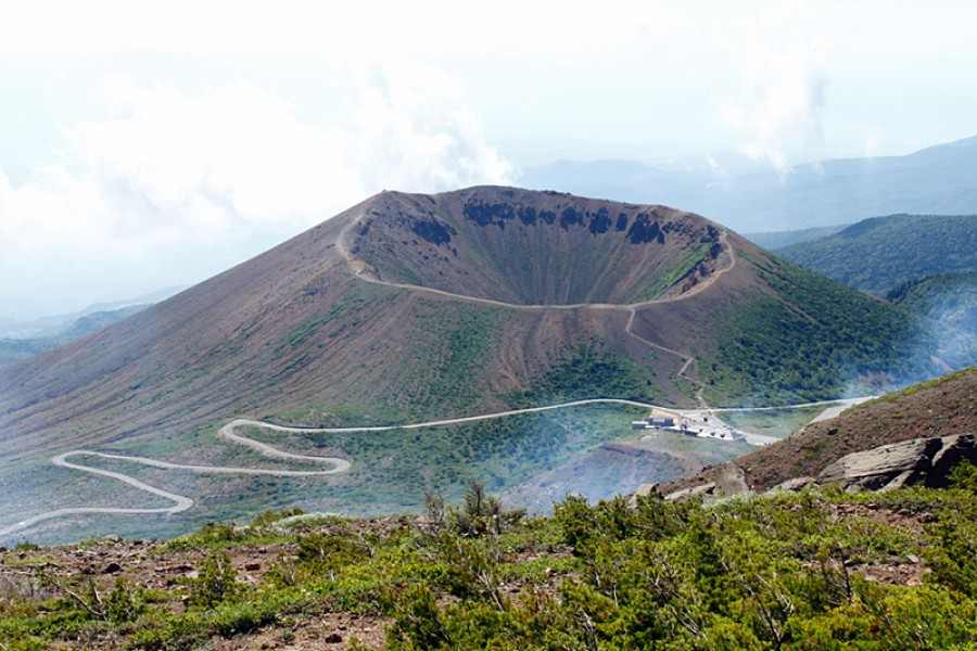
Every year in spring, as the snow melts away, it leaves behind the shape of a giant white rabbit on the side of Mt. Azuma-Kofuji. This is called the “seeding rabbit”, and it signals to the people of Fukushima that the farming season has come.From April to November each year, you can experience the beauty of the awe-inspiring natural landscape of Mt. Azuma-Kofuji.Mt. Azuma-Kofuji is an active volcano with an appealing symmetry to it and a soft conical shape; because of these classic features, it was named Kofuji ('little Fuji'), after the iconic Japanese mountain.Thanks to its volcanic ground, the area has given birth to many nearby onsen areas perfect for relaxing, such as Tsuchiyu Onsen and Takayu Onsen.Mt. Azuma-Kofuji is a great destination for those who decide to drive through the area as the Bandai-Azuma Skyline happens to pass just below the crater of Mt. Azuma-Kofuji. Along the roadway is the Jododaira Visitor Center, which offers visitors a place to park, rest up, get a snack, and maybe even buy souvenirs. It is the perfect spot to take a break and explore one of the many short hiking routes to stretch out your muscles after a long car ride. From there, it is just a short hike up to the crater, and there are plenty of other great trails. Circle the crater of Mt. Azuma-Kofuji on a relaxed 40-minute walk and—if you are lucky—enjoy gorgeous views of Fukushima City, Mt. Bandai, and the Urabandai area. But do watch your step as the ground can be uneven and even slippery on grey days. The mountain is open from spring to autumn every year.

Bentenjima
History & Culture

Bentenjima

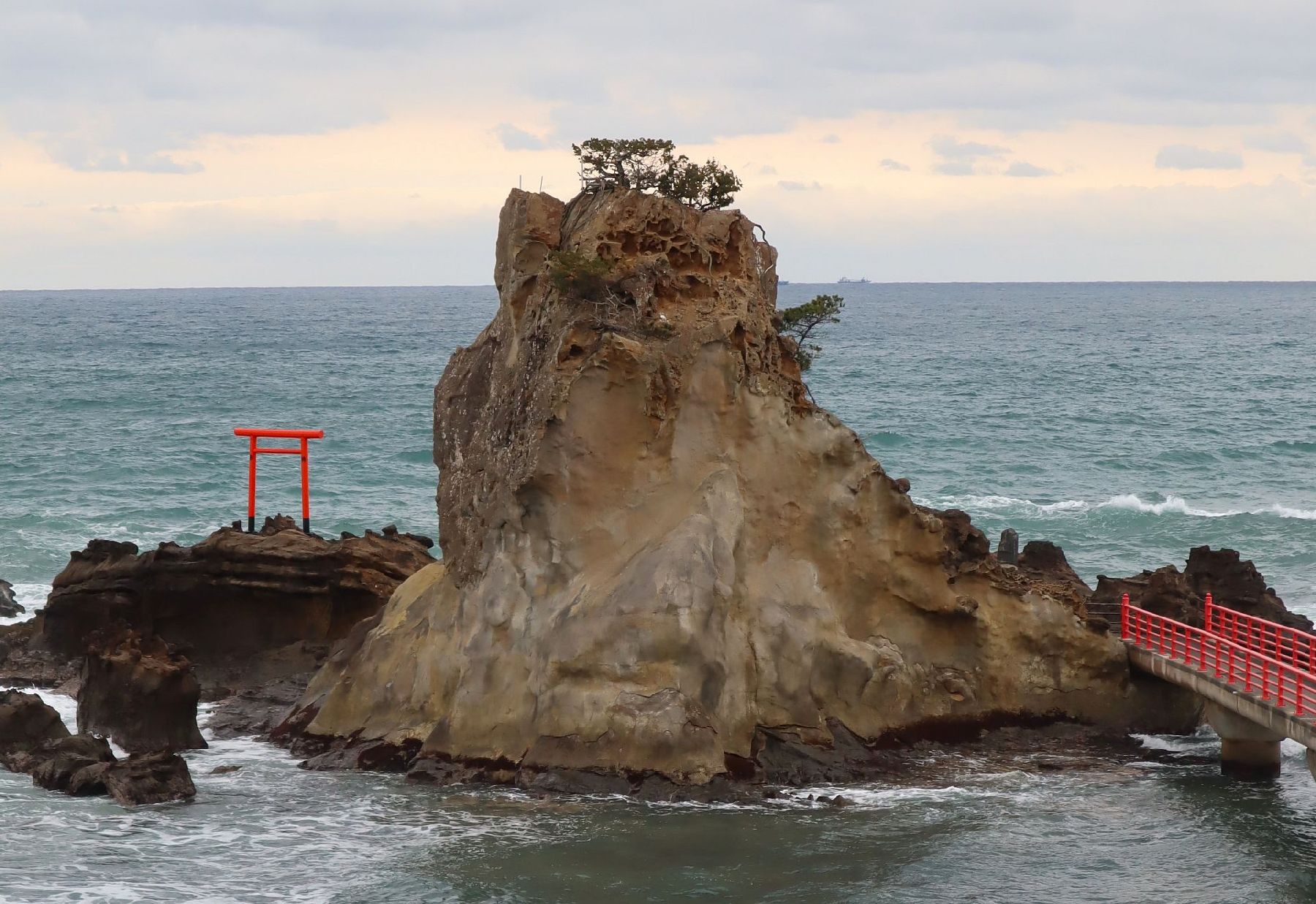
In a crescent shaped cove separated from the mainland on the small island known as Bentenjima Island, you will find the mysterious Bentenjima Shrine. The vermillion painted tori gate stands out against the jagged stone and the powerful waves. It is believed that the shrine was land based until an earthquake that occurred in 1410 resulted in the formation of this jagged rock island. The construction date of the original shrine is unknown. The island is also known as Wanigafuchi because, according to legend, a creature known as a “wanizame” (crocodile shark) lived on the island. Half crocodile, half shark, this creature can be seen in many old Japanese paintings. The creature may have been believed to cause the swirling water and violent waves that crashed against the rocks, sometimes resulting in people getting swept into the water. Another legend suggests that the wanizame once kidnapped a young woman from Iwaki who had wandered out to explore the island.This coast is lined with small round pebbles that shine when the water hits them. However, do not take any of these pebbles home, legend says that anyone who takes pebbles home from this coast will suffer from eye disease. This area was once a very popular destination for tourists and I highly recommend checking out the photos on the Iwaki city website linked below. It is all in Japanese, but you can read it with the google translate extension on google chrome browsers.

Maezawa L-shaped Farmhouses
History & Culture

Maezawa L-shaped Farmhouses

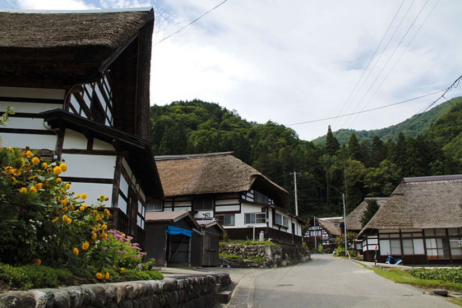
The deep snows of the Aizu region meant that, in the past, cut off from other areas for months at a time, its residents had to use all their wits just to make it through the winters. These L-shaped farmhouses known as "magariya" conceal a number of the innovations developed by this local people.As you can see in the layout of the house, the long earth floor stretches out towards the road. Long ago, horses were indispensable in farming, but the deep snow of winter meant that keeping them tied up in external stables was cruel. Therefore, stables were built into the house, meaning that the unfloored working area inevitably became larger. Having this area far from the road made getting to the road through the snow more difficult, as up to a meter can fall overnight. Accordingly, with the aim of reducing work, locating this working area as close as feasible to the road ended up with the house being laid out in an L-shape.Many of these houses were built in Maezawa and throughout Tateiwa Village, as a way of living with horses in the deep snows of the Aizu region.The houses have become more and more comfortable over time, with the "magariya" design lasting until the present day. While this magariya-style farmhouse used to be built everywhere that saw heavy snow, they are gradually disappearing. Accordingly, the Maezawa magariya have been designated as historical cultural assets.In 1985, the village began actively preserving these houses, and this area now attracts many visitors. One of the magariya buildings have been repurposed into a museum in the village where visitors can learn about life in Maezawa.

Kaiseizan Park
Nature & Scenery

Kaiseizan Park

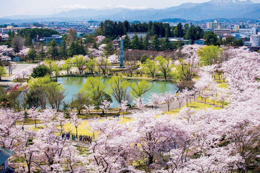
Koriyama’s Kaiseizan Park is a wide realm in the city. Home to around 1300 cherry trees, it is one of the prefecture’s most prominent cherry blossom spots. The impressive trees are lit up in the evening during cherry blossom season, making for fantastic views. The park has a baseball field, an athletics field, and an event venue. Additionally, it is home to one of Fukushima's Chansey's Lucky Parks, making it a popular destination among Pokémon fans. Located nearby is the Kaiseizan Daijingu Shrine.There is also a 3,000-square-meter rose garden that blooms in spring (typically from mid-May to late June) and in the fall (usually from mid-September to late October). Exact blooming dates vary each year.No matter the season, there is something to enjoy at Kaiseizan Park year-round.

Top