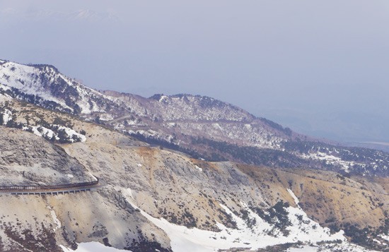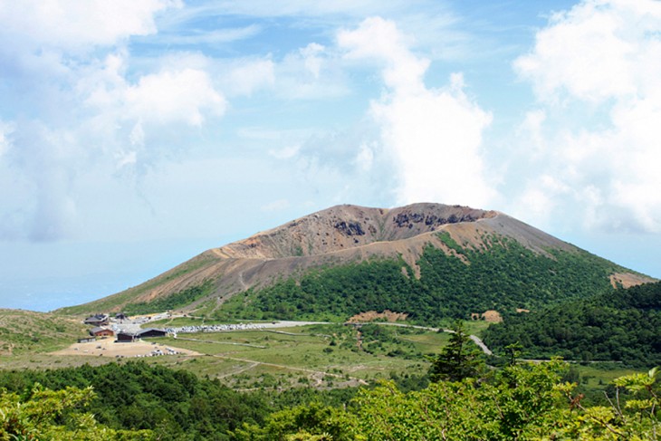
Home to a wealth of stunning views and scenic roads that can be enjoyed by car or bike, the eastern side of the Azuma mountain range that borders the prefectures of Fukushima and Yamagata is particularly popular for those who enjoy hiking and walking. Mt. Azuma-Kofuji (which translates as ‘little Mt Fuji’), is a popular place to follow a short hiking course, since it takes less than 1.5 hours to complete, and is not far from central Fukushima City.
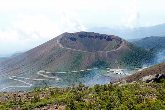
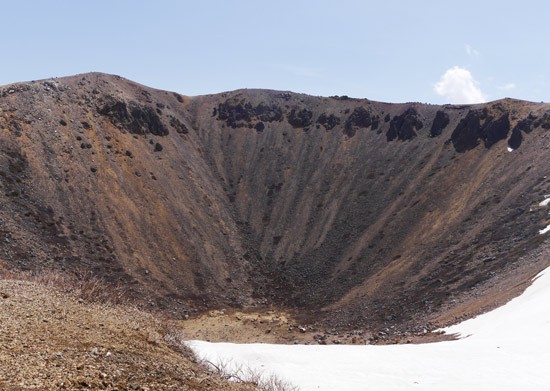
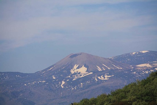
Mt. Azuma-Kofuji – which has a shape likened to the famous Mt. Fuji – has a distinctive crater at its center, which was formed after a volcanic eruption. Although the peak of Mt. Azuma-Kofuji is around 1700 m, the base of the crater is around 70 m lower!
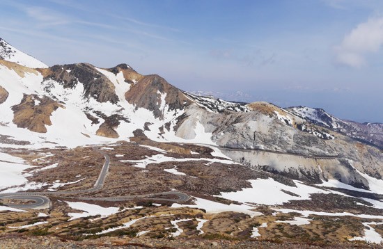
Along with its status as being seated on Bandai Azuma Skyline – a famous motorbiking, cycling and driving route – Mt. Azuma-Kofuji is also well-known for its role in producing the mascot of Fukushima City, Momorin, a cute little rabbit. Every year, when the snow begins to melt from the top of the mountains in springtime, a space is cleared on the side of Mt. Azuma-Kofuji that melts into the shape of a rabbit! Depending on how fast the snow melts, and how much rain falls, the exact form of the rabbit does change from year to year, but it always there to some extent, looking down on the citizens of the city.
Jododaira Plateau, from where Mt. Azuma-Kofuji , Kamanuma Pond, and Mt. Issaikyo can be accessed, can only be reached between early-April and mid-November every year, as the heavy snow fall of winter has lead to the scenic road that passes through the area to be closed during this time. Even though it is not possible to come right to the top of Bandai Azuma Skyline during this winter season, the two onsen towns that bookend it – Tsuchiyu Onsen and Takayu Onsen – can still be visited in the winter.
The Mt. Azuma-Kofuji hike begins at Jododaira Plateau, which is home to visitor center and rest house where visitors can have a snack and buy souvenirs.
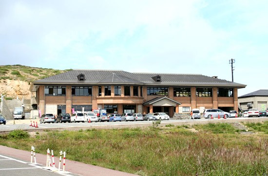
There are Japanese language pamphlets at the rest house which display the various hiking routes around the Jododaira area, such as those to Kassanuma Ponds and Issaikyo Peak. Even if you don’t understand Japanese, there are lots of pictures and maps, so you can understand where you are in relation to the rest of the hiking trails.
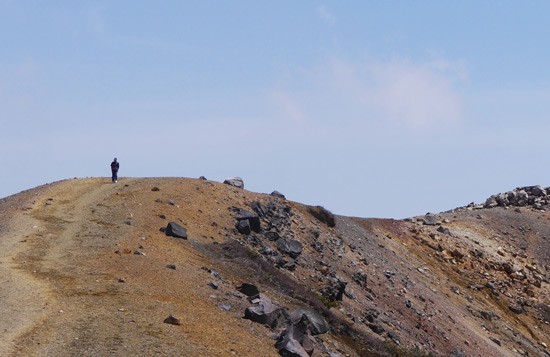
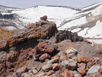
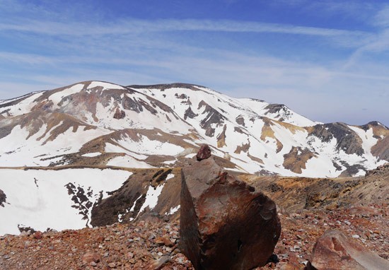
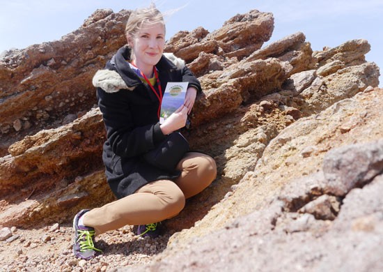
The start of the walk (little squiggly red line) – a winding trail of stairs – is visible from outside of the rest house (the P close to the squiggly red line!). The ascent to the top of the crater takes around 10 minutes, and visitors are recommended to allow 1 hour to walk around the crater. It’s also said that this walk should be enjoyed by walking clockwise round the crater’s edge. I really like walking around Mt. Azuma-Kofuji because once you reach the top of the steps, you’re greeted with amazing, otherworldly views. It seems like every angle of this walk supplies completely different scenery. If you look one way, you can see the beautiful snowy mountains in the distance… …But if you look another way, it feels like you have been transported to a desert, or even to the moon! The faces of rocks and stones that surround the crater have changed colour over time due to the different volcanic gases and substances present in the area. It was interesting to take a close look at the unusually bright red and purple colouring of the stones. This short hike really does make you feel like you’re walking on top of the world. Circling the edge of the crater was not too physically challenging, although I did lose my balance a couple of times when I place my weight on groups loose stones. I would advice not trying to complete this walk in heeled shoes! I did find that climbing up the relatively steep staircase made me quite out of breath. However, I did finish the route in less than an hour though, so it’s possible that I was just rushing! One other word of warning is that it can sometimes get extremely windy at the top of the crater. When I visited most recently in April, it was my first time to attempt making it the whole way around the crater, as during previous visits, the wind had been too heavy to attempt it. This time, the wind was even calm enough for me to place my camera on a rock for long enough to take a selfie without fear of it being swept off into the distance! If you find yourself in Fukushima City on a sunny day, with a few hours to spare, I would wholeheartedly recommend a hiking trip to Jododaira. The views are honestly spectacular. Coupled with a trip to either (or both!) of the onsen towns nearby, a visit to Jododaira can easily become part of a really fun day out!
