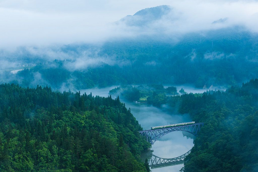
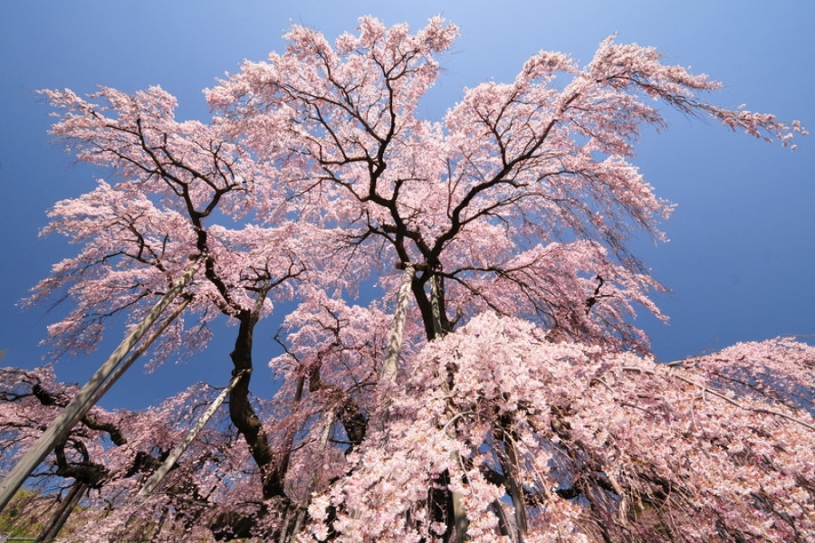
404

404

PAGE NOT FOUND

Unfortunately the page you are looking for is not available.

Back to Home

Unique in Fukushima

Bandai-Azuma Skyline
Nature & Scenery

Bandai-Azuma Skyline

This sightseeing road that runs from Fukushima City's Takayu Onsen to the Tsuchiyu Pass, commanding panoramic views of the surrounding landscape.The spectacular views that stretch out at an average altitude of 1,350 meters attract visitors time and time again, and Bandai-Azuma Skyline has been selected as one of the 100 Best Roads in Japan.In spring, tourists can enjoy flower viewing while at the same time taking in the otherworldly winter scenery of the "Snow Corridor".In summer, the Nemoto Shakunage (Rhododendron brachycarpum), a species of alpine rose, and other alpine plants display their colorful flowers and fresh, brilliant green leaves. During autumn, the drive warms as roads become enclosed by fiery seasonal leaves.There are also many hot springs in the vicinity of the Skyline where visitors can enjoy a bath and relax stiff muscles while out on a daytrip.The roadway passes next to the crater of Mt. Azuma-Kofuji. Visitors can easily park their car at the nearby guest center and enjoy a short hike up to the crater’s rim.The Bandai-Azuma Skyline Roadway has been selected as one of the top 100 roads in Japan, and unlike many others, this one is free to use. There are rest stops along the way for the hungry traveler; the most popular is Jododaira, as it’s home to a rest house and an observatory.Be sure to plan ahead though, from mid-November to early April the roadway is closed due to heavy winter snowfall.

Maezawa L-shaped Farmhouses
History & Culture

Maezawa L-shaped Farmhouses

The deep snows of the Aizu region meant that, in the past, cut off from other areas for months at a time, its residents had to use all their wits just to make it through the winters. These L-shaped farmhouses known as "magariya" conceal a number of the innovations developed by this local people.As you can see in the layout of the house, the long earth floor stretches out towards the road. Long ago, horses were indispensable in farming, but the deep snow of winter meant that keeping them tied up in external stables was cruel. Therefore, stables were built into the house, meaning that the unfloored working area inevitably became larger. Having this area far from the road made getting to the road through the snow more difficult, as up to a meter can fall overnight. Accordingly, with the aim of reducing work, locating this working area as close as feasible to the road ended up with the house being laid out in an L-shape.Many of these houses were built in Maezawa and throughout Tateiwa Village, as a way of living with horses in the deep snows of the Aizu region.The houses have become more and more comfortable over time, with the "magariya" design lasting until the present day. While this magariya-style farmhouse used to be built everywhere that saw heavy snow, they are gradually disappearing. Accordingly, the Maezawa magariya have been designated as historical cultural assets.In 1985, the village began actively preserving these houses, and this area now attracts many visitors. One of the magariya buildings have been repurposed into a museum in the village where visitors can learn about life in Maezawa.

The Remains of Ukedo Elementary School in Namie Town
Disaster Recovery & Revitalization

The Remains of Ukedo Elementary School in Namie Town

The Remains of Ukedo Elementary School in Namie Town (震災遺構浪江町立請戸小学校) are located in the coastal area of Fukushima prefecture.Ukedo Elementary School, located 300 meters from the sea, was having classes when the earthquake struck at 2:46 p. m. on March 11, 2011. A few minutes later, a tsunami warning was issued for Ukedo. The school staff urged students to evacuate immediately to nearby Mount Ohirayama, approximately 1.5 km from the school. When the tsunami hit about 40 minutes after the earthquake, all of the students and staff had evacuated safely.The school building suffered great damage from the earthquake and the tsunami, as did most of Namie town, which shortly after became under evacuation order due to the nuclear disaster (the evacuation order for some areas in Namie Town was lifted on March 31, 2017).In 2021, the remnants of the Ukedo Elementary School building opened to the public. The facilities remain largely untouched, with debris, broken floors and ceilings, smashed objects, collapsed furniture and other school items. Visitors can see the extent of the destruction caused by the earthquake and tsunami and learn about the importance of disaster preparedness.At the entrance, you can scan a QR code using your phone to access the English translation of each explanation panel as you proceed through the school grounds.

Top