Learn more about Mt. Issaikyo on our dedicated webpage.
Despite Japan being such a mountainous country, and having lived here for several years, I was surprised to realise I’d never climbed to the summit of a Japanese mountain before. But that all changed recently when I attempted – and defeated, just about – the rugged trip up Mt. Issaikyo, one of Fukushima’s most popular hikes.
Here's all the information about not only my trip, but how you can take on this challenge as well.
Base Camp: Jododaira
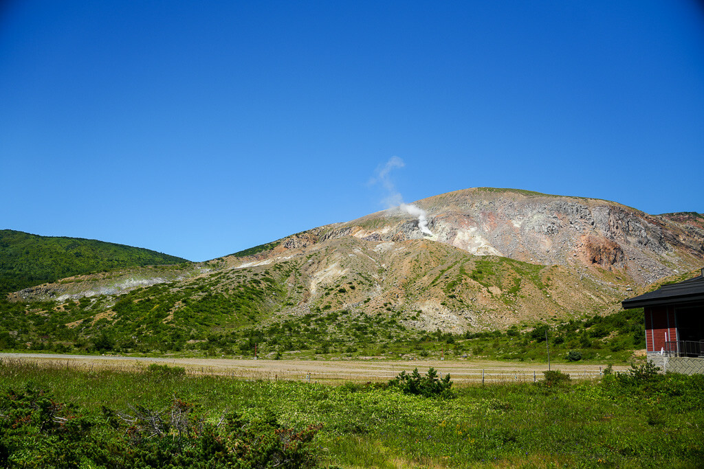
Overlooking the Jododaira Plateau, the summit of Mt. Issaikyo (1,949m) is one of several possible trips from the Jododaira Visitor Center to different areas of the surrounding Azuma-Bandai mountain range.
Many visitors head for the Kamanuma pond to the west or Okenuma pond to the south, both of which offer spectacular views over the water and are particularly stunning when the leaves change colours in autumn. Both of these trips, as well as the climb up to the nearby Mt. Azuma-Kofuji crater, are shorter and less intensive walks accessible to any experience level.
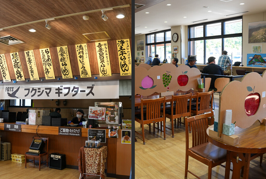
The nearby Visitor Center is also a great spot to enjoy lunch; there is a traditional shokudo (canteen) style restaurant that serves classic Japanese staples like curry and ramen. There’s also a souvenir shop, a great place to pick up snacks or Fukushima goods like the iconic akabeko red cow.
The Jododaira area in general is well known as being a volcanic one – a major eruption from Mt. Azuma-Kofuji in 1888 created hundreds of lakes, including the popular Goshiki-numa, and the hot mountain spring water serves nearby onsen hotels to this day. Sometimes you’ll see local construction staff wearing gas masks to protect against volcanic gases when exposed for long working days.
The Climb: Leg Day
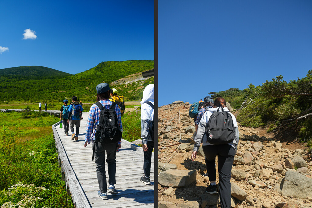
As a first-time hiker, I was a little apprehensive about the journey to the summit, but the initial stretch of the journey was easy – a leisurely walk along the boardwalk through the marshlands heading into the foothills.
From there, the path begins to become rockier, steeper and less steady, and this largely continued for the remainder of the hike. There are plenty of natural rest stops on the way, however, including a mountain hut with toilets and medical supplies in case of an emergency.
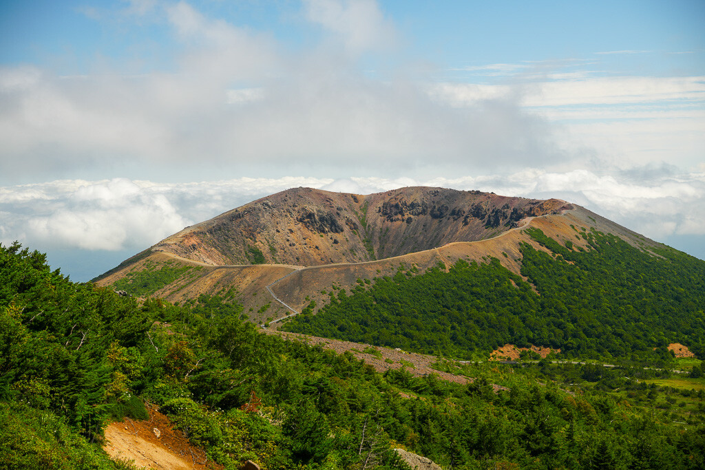
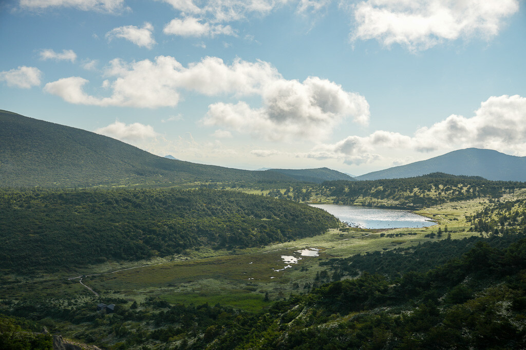
Also, this route provides fantastic views over Azuma-Kofuji. Although it was easy to feel some jealousy towards the visitors who chose the easier hike (only 10 minutes up the steps from Jododaira, then a 45 minute stroll around the crater), the gorgeous weather made for some beautiful photos.
Although the volcanic crater is visible further up Mt. Issaikyo, on occasion it was obscured by the rocky slope or by the shifting cloud cover, so the best photo spot was probably somewhere halfway up the ascent.
This was also where we met many hikers coming back down the mountain in the opposite direction, many of whom greeted us warmly and wished us luck on our climb.
The Summit
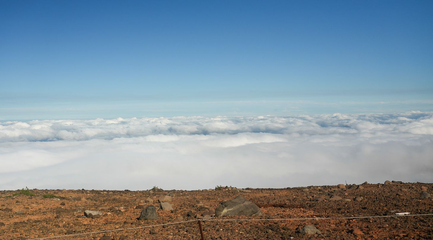
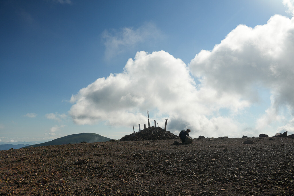
By the time we made it to the top, our tired legs and lungs certainly needed a rest, but we were rewarded with breathtaking views of pristine white clouds stretching as far as the eye could see. In contrast to the view from Azuma-Kofuji, which looks across the green expanse of Fukushima City, being surrounded by clouds made it feel like we’d stepped into another world.
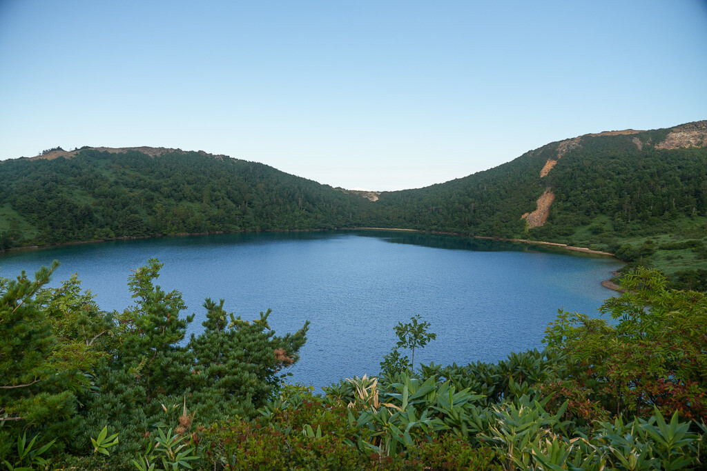
From here, we wandered slightly to the western part of the summit, where from over a gravelly slope we spied the view that attracts intrepid hikers from all over Japan.
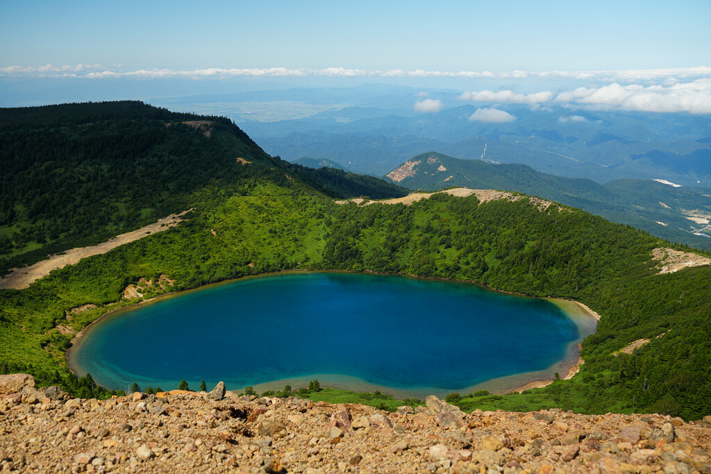
Known as Majo-no-Hitomi or ‘The Witch’s Eye’, this flawless lake of crystal blue is truly a sight to behold, and definitely made the tough climb worthwhile.
The Descent... in the Wrong Direction
Tempted for a closer look, we headed down the steep slopes that lead off the summit. The grip underfoot here can be rocky and unsteady, so this was where my hiking boots came most in handy. Once we got into the more forested areas again, the path occasionally fell away into a slight drop, too, so some very light mountaineering was required.
The journey from the summit down to the Witch’s Eye took about thirty minutes, and again we were awestruck:
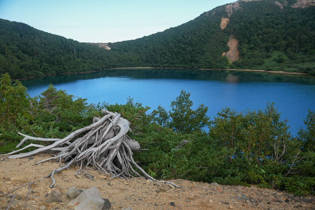
The beauty of the lakefront was even more striking up close, making it the perfect place to stop and recharge our batteries with a quick lunch by the water. We spent another half an hour down here, taking a much-needed rest and enjoying the perfect summer weather.
All that was left was to climb Mt. Issaikyo for the second time on the day, and we would be on our way home...
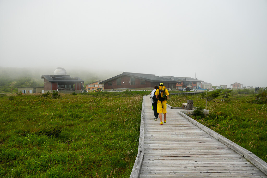
By the time we made it back to Jododaira, the fine weather from earlier has dissipated and a deep fog had settled in.
The round trip from Jododaira to the summit of Mt. Issaikyo, down to the Witch’s Eye, and back again, took us roughly five and a half hours (stopping for 30mins for lunch), and saw us walk the equivalent of 7.4km.
Looking to climb Mt. Issaikyo for yourself? Some important advice:
- Wear sunscreen! Despite the shaded areas, large parts of the hike are exposed to the elements.
- Bring plenty of water, and snacks or lunch to keep your energy up!
- Hiking boots are highly recommended.
- The mountain is closed to climbers in winter.
Looking for more hikes in Fukushima? Consider Mt. Adatara or Mt. Bandai.


