Hideyo Noguchi Memorial Museum
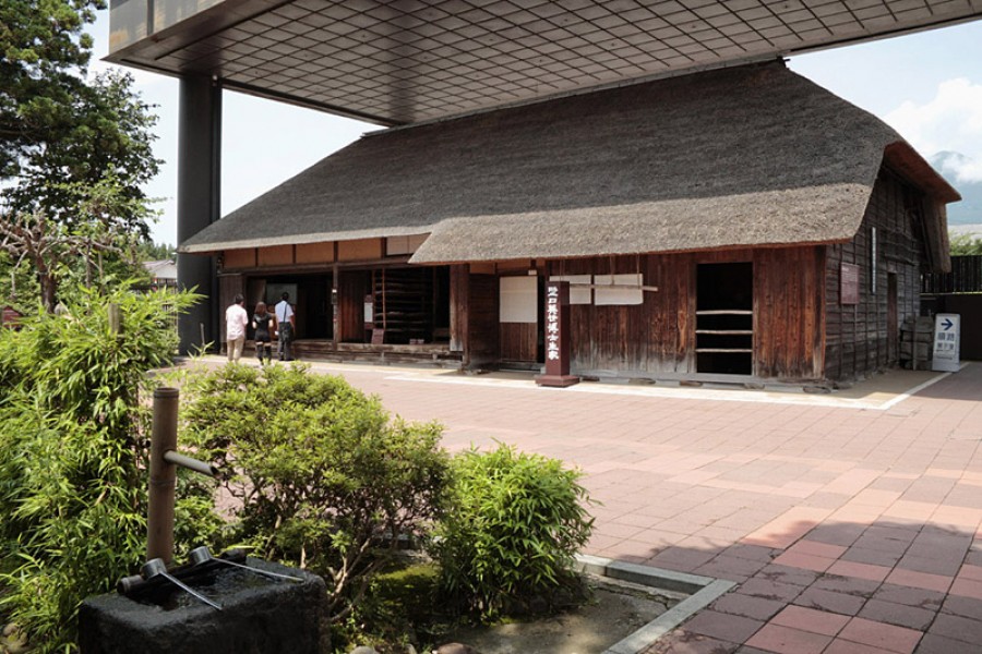
Most people probably don’t know who Hideyo Noguchi (1876-1928) is by name but just look at a 1,000-yen note and you’ll know his face. A renowned bacteriologist, Noguchi made great advances in the research of a vaccine for yellow fever. He’s also credited with the discovery of the agent which causes syphilis.This memorial museum was established to honor the Nobel-nominated bacteriologist, and to introduce his life achievements. The house where Noguchi was born stands within the museum grounds. Visitors to the house can see the fireplace where he fell as a child, leading to him seriously burning his left hand. The alcove post of the house has carved into it the words of resolution Noguchi made before he went to Tokyo.The exhibition room contains many resources that introduce Noguchi's life and accomplishments, including his favorite articles, letters, and photographs. In Noguchi's laboratory, which was recreated for the memorial museum, visitors can interact with a robot designed in the image of Noguchi. The robot answers questions from visitors and gives them encouraging messages.Though the house retains its Meiji Period charm, the hall and facilities were renovated in April 2015, during which time the experience-based corner was added. Here, guests can learn about bacteriology through videos and interactive games.Aizu-Ichiban Café, a café which renovated from the clinic where Hideo Noguchi received treatment for the burns he suffered to his left hand, is located nearby. Once named Kaihiyo Clinic, this is where he spent much of his youth and acquired his motivation to study and ambition to help others. There are also a number of his belongings on display, making it an interesting place to visit after a trip to the museum.