Nature & Scenery
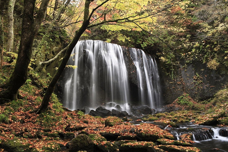
Tatsusawa Fudo Falls
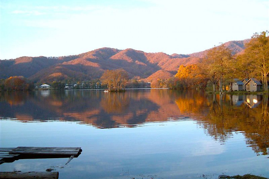
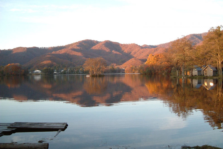
Breathe in the cool, crisp negative ion air and relax under the shade of trees as you marvel at the beauty of the Tatsusawa Fudo Falls. Two waterfalls make up the Tatsusawa Fudo Falls; Odaki is considered the male fall and is the larger of the two (16 m tall), while the smaller of the two is considered female and called Medaki. The sight is indeed lovely to behold as the silvery waterfalls over the rocks below.The Tatsusawa Fudo Falls are located in Inawashiro Town and are beautiful year-round. These falls are also a treasure for photographers because of how serene they are surrounded by nature on all sides. In spring and summer, the lush greenery makes the whole forest feel alive; in autumn, the vibrant colors of the leaves reflect off the water and give it a painterly feel. With proper snow equipment, you can even visit in winter and see the stark contrast falls against the white snow.The drive up to the falls is only 15 minutes from central Inawashiro Town, and there’s a small parking lot about a 10-minute hike from the falls. The walk itself is easy and smooth. You’ll first pass Lady Medaki before arriving at the main Odaki falls. And with maple trees framing the waterfall just perfectly, you’ll want to be sure to remember your camera and perhaps a tripod as well.There is even nearby onsen for you to stay and relax afterward. So why not visit the falls to relax your mind and soul, and then go for a soothing dip in the hot springs to rejuvenate your body. You won’t be disappointed with the vista of the falls or the nearby area.