Tadami Line Autumn Tour
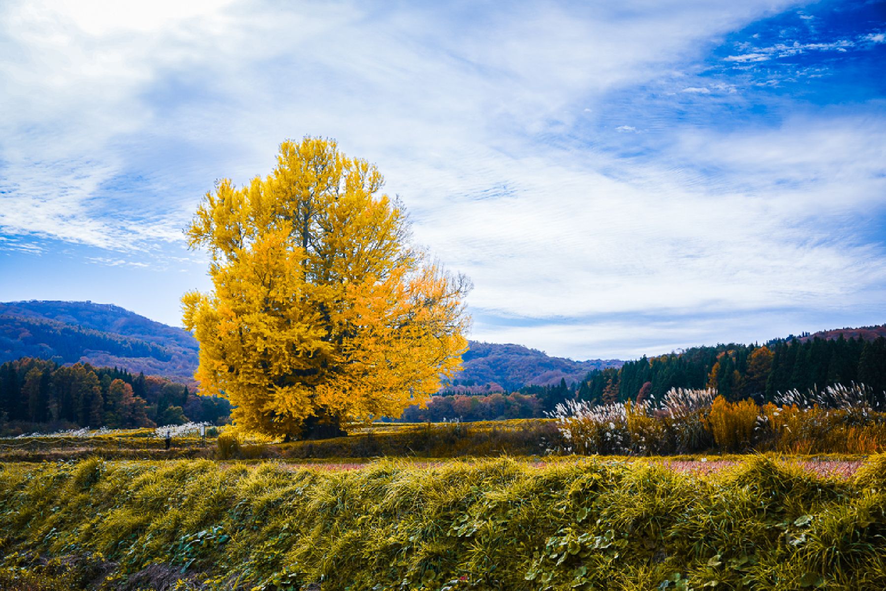
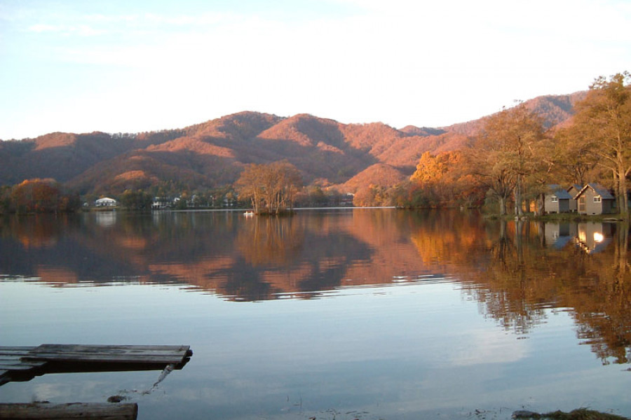
The Tadami Line Autumn Tour offers an immersive journey through the scenic and cultural heart of the Oku-Aizu region, famous for its gorgeous autumn colours. Departing from Aizu-Wakamatsu Station, the tour includes a visit to the No. 1 Tadami River Bridge Viewpoint, the renowned photography spot offering panoramic views of the river as the train passes. The tour also features a ride on the Tadami Line itself, promising beautiful views of Oku-Aizu’s striking mountain scenery, as well as a stop at the Nekka distillery, recognized as Japan's smallest, where visitors can learn about and sample local sake. The one-day tour, combining both bus and train travel, operates Saturdays, Sundays and holidays from September 13th to November 30th, 2025. Lunch is included and the tour is accompanied by a guide (Japanese language only). Tickets can be purchased from the Fukushima Travel website. Please note the tour may be modified or canceled in the event of extreme weather or other unavoidable circumstances. Some dates and activities may vary – please check details in advance. (Regarding the Tadami River bridge: since a train passes at 16.08, the tour operators cannot guarantee visitors will be able to shoot the passing train.) Adult tickets (junior high school student and above): 7,670 yen (6,900 yen with a 770 yen processing fee) Children (elementary school students or below): 5,450 yen (4,900 yen with a 550 yen processing fee)