Aizu Bukeyashiki (Samurai Residence)
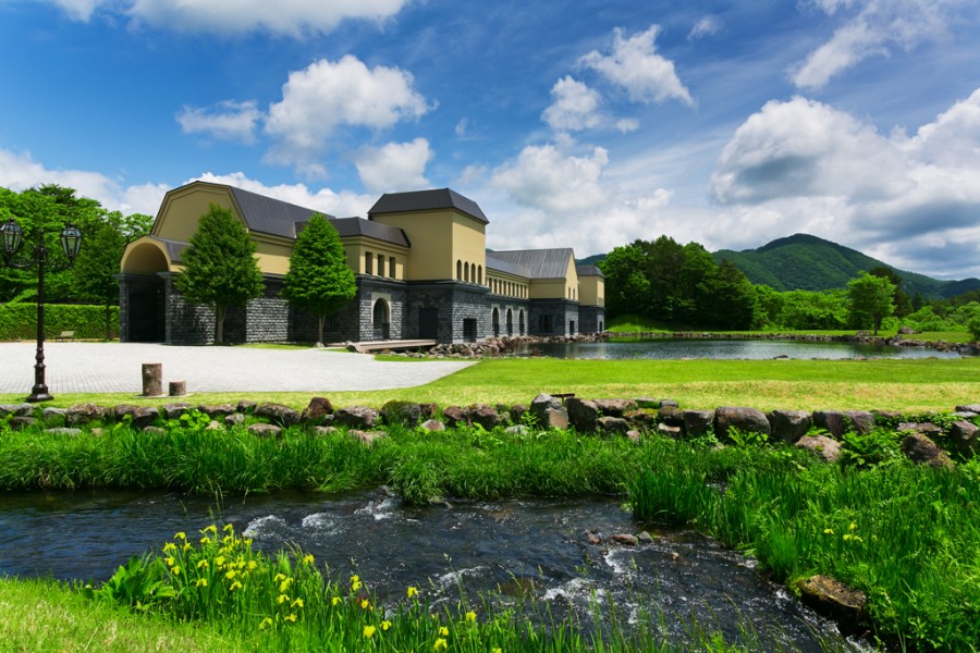
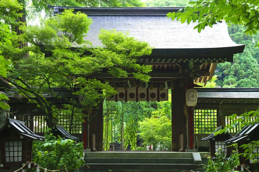
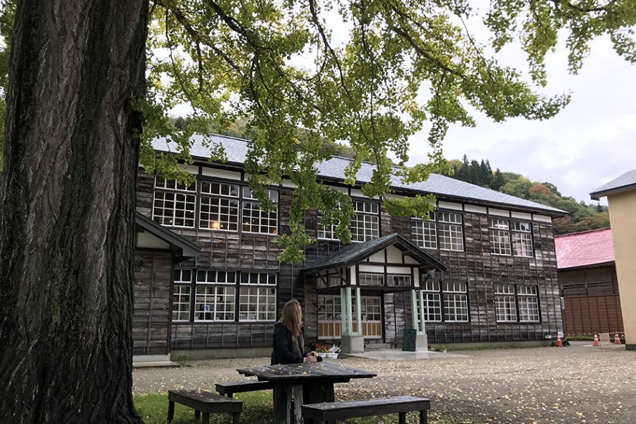
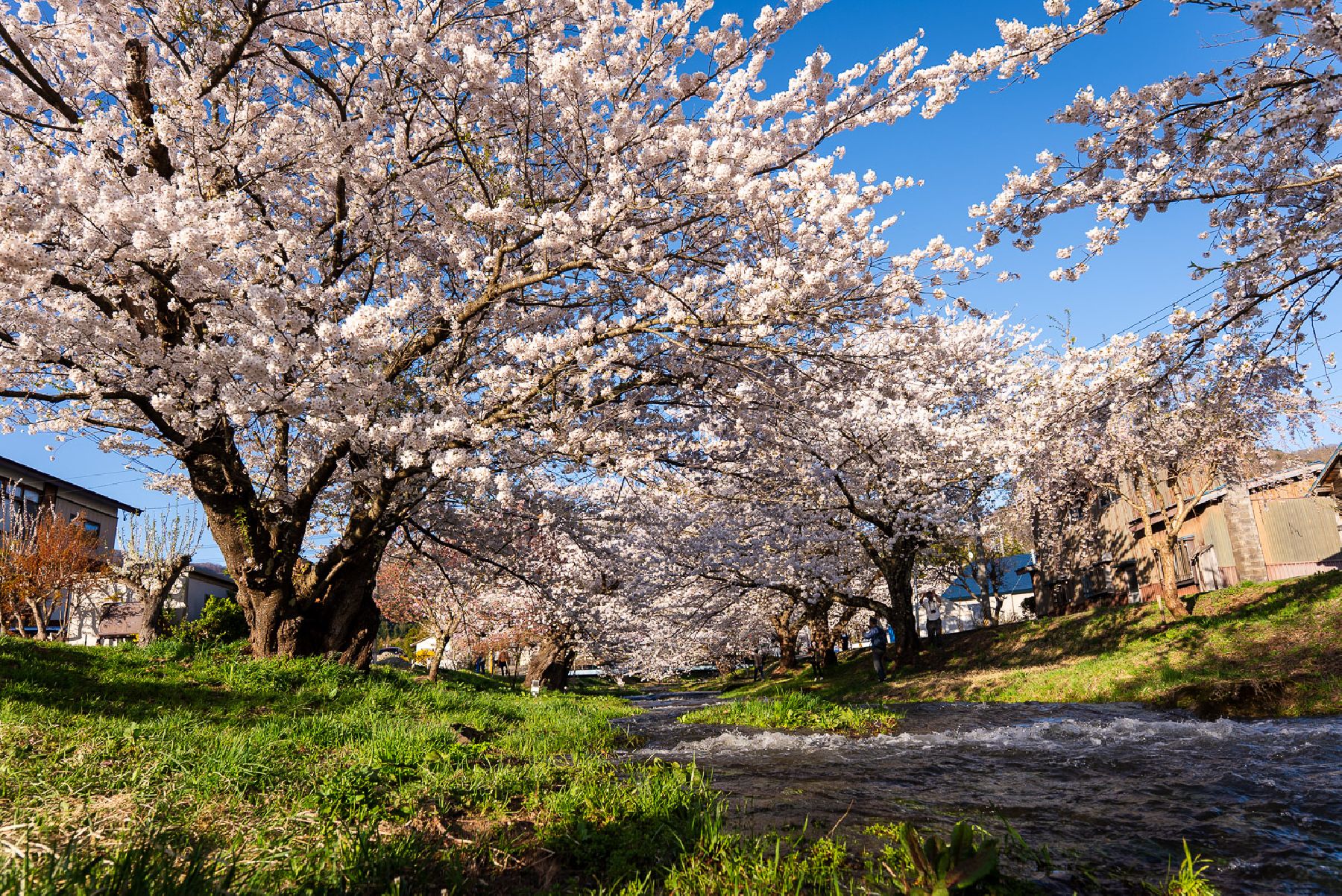
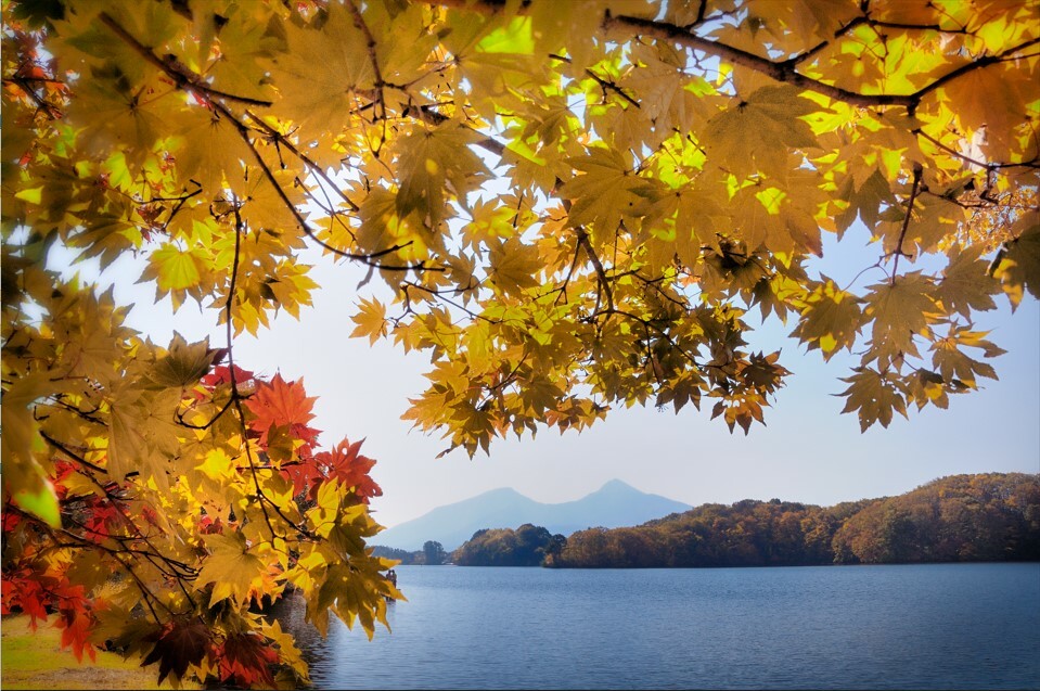
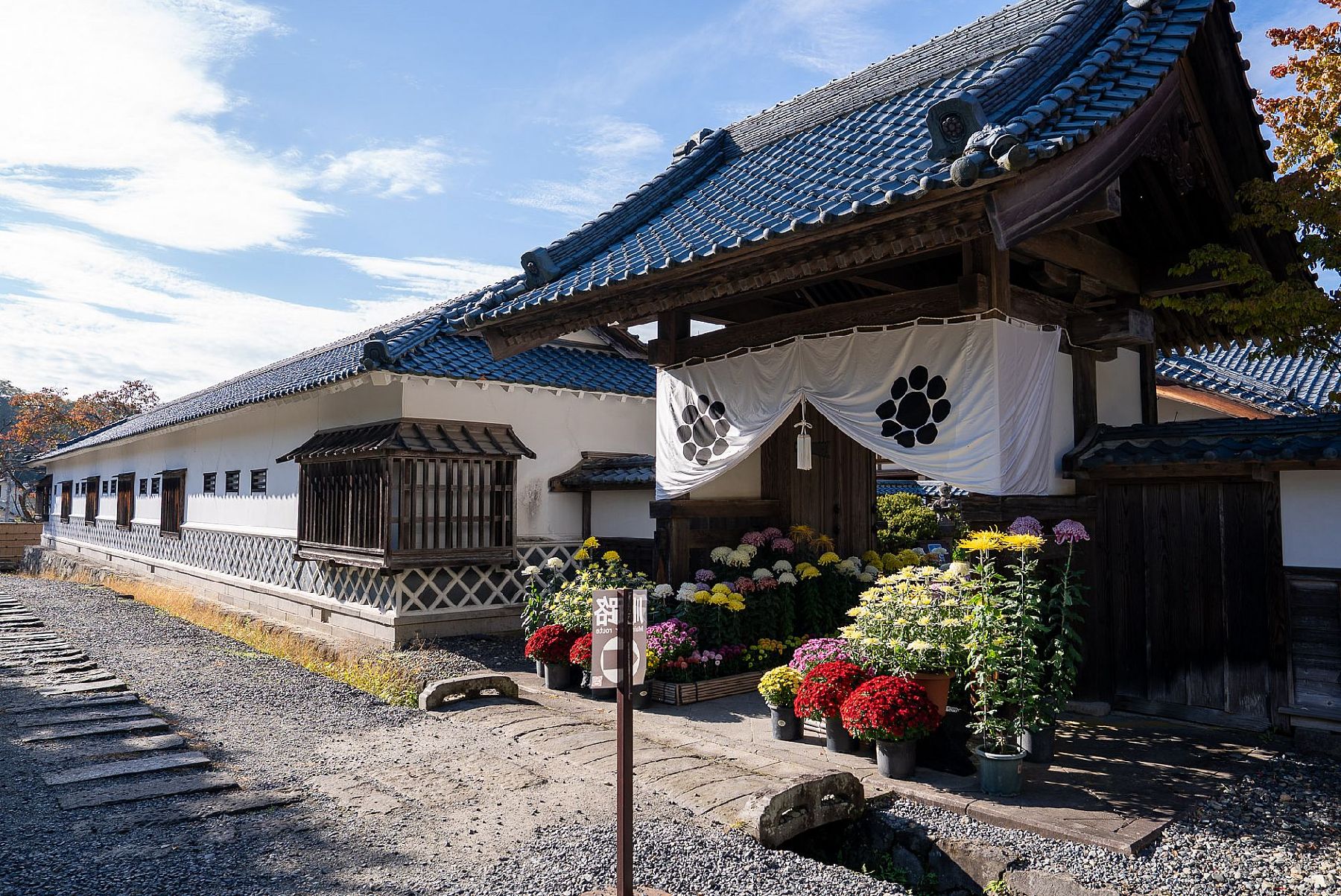
Aizu Bukeyashiki (Samurai Residence) is a historical open-air museum where visitors can learn about the history of Aizu and sample some of the specialty products of Fukushima.Stroll around the residences to take in traditional Japanese architecture, including the residence of Tanomo Saigo, the Aizu Domain's chief retainer, a magistrate's office, a tea ceremony house, a rice mill, and a warehouse (resource center).Visitors can also enjoy local specialty food at the onsite Kuyotei restaurant, and find specialty products from Aizu and other parts of Fukushima at Sato-Kobo Kokon, and enjoy hand-painting traditional toys and practicing Japanese archery, which is perfect for young kids.Besides such cultural enjoyment, the natural beauty of the spring cherry blossoms and the bright autumnal foliage are a major attraction for tourists.