Aizu Hanko Nisshinkan
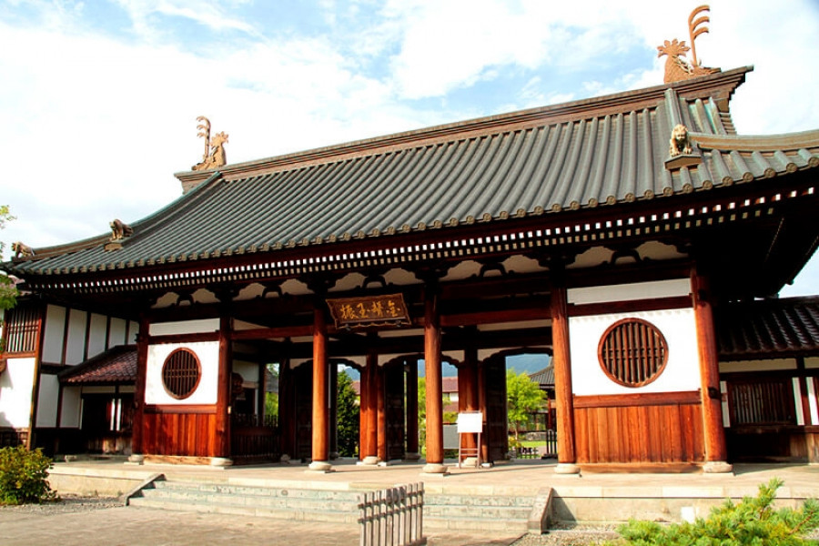
Aizu Hanko Nisshinkan was the highest-level learning institution of its time. It was established in 1803 by the Aizu Domain to foster Japan's next generation of talented samurais.Children of samurai families entered this school at the age of ten and worked on academic studies and physical exercises to instill both physical and mental discipline.The property, covering about 26,500 square meters in area, used to house such facilities as a martial arts training hall, an astronomical observatory, and Suiren-Suiba Ike, Japan's oldest swimming pool.During the late Edo Period, the school turned out a great deal of excellent talent, including the legendary group of young warriors, the Byakkotai. The facilities, which were burned down during the Boshin War, have been rebuilt faithful to their original design. They now function as a hands-on museum that features exhibits of the magnificent architecture of the Edo Period and dioramas of school life as it used to be.Visitors can enjoy practicing some of the essential disciplines of the samurai, including tea ceremony, Japanese archery, meditation, and horseback riding, as well as experiencing hand painting an akabeko (red cow), a traditional good-luck charm of Aizu.Make a reservation : https://nisshinkan.jp/reservation*Since the website is in Japanese, we recommend that you use Google Translate or other translation functions to make reservations.