Nature & Scenery
Nicchu Line Weeping Cherry Blossoms
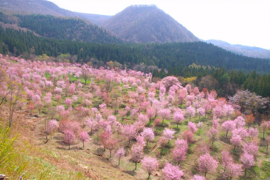
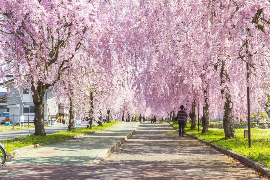
The Nicchusen cherry blossoms in Kitakata City follow a three-kilometer section of the former Nicchu Line railway. Once running between Kitakata and Atsushio Onsen, part of the line has been converted into a walking and cycling path. Each spring, rows of cherry trees along the path draw visitors to see them in bloom, usually around Golden Week in late April or early May.The length of the path allows people to enjoy the blossoms at their own pace. Even when some areas are busy, it is easy to find quieter spots for photos or a break. Visitors often walk the full route, stopping at different points to take in the changing scenery.Along the way, there are several features of interest. An old steam locomotive, once used on the Nicchu Line, remains on display at the midpoint and has become a popular photo spot. The path also runs past houses, rice fields, and farmland, giving a glimpse of the everyday landscape of Kitakata.Different types of cherry trees can be seen, from weeping varieties to those with pale or darker blossoms. With open areas to sit and rest, many people bring food or drinks to enjoy a picnic under the trees, making the Nicchusen cherry blossom path a relaxed way to experience spring in Fukushima.