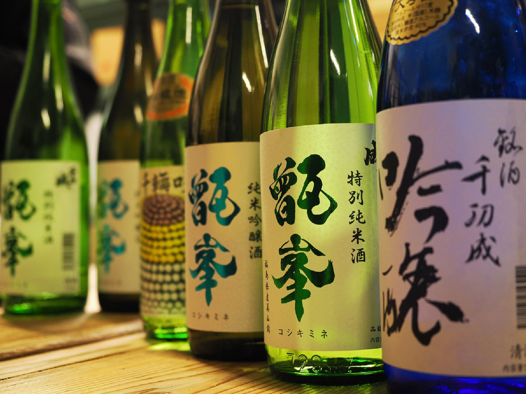
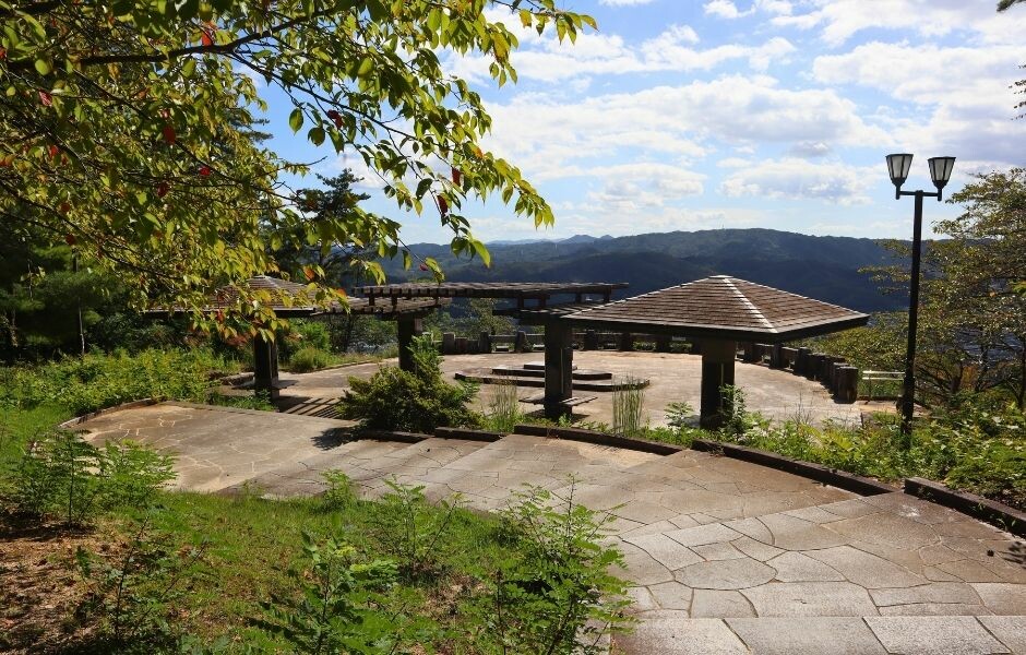
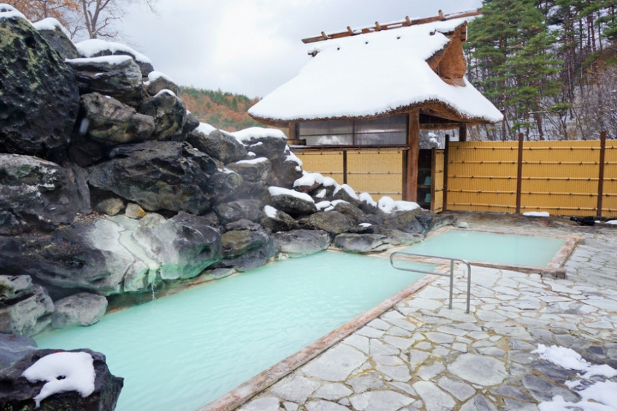
Mt. Shinobu (Shinobuyama)

Mt. Shinobu (Shinobuyama)

Mt. Shinobu, with a total altitude of 275 meters, is one of the most recognisable landmarks of Fukushima City. It is estimated that it formed about 500,000 years ago when the Fukushima basin caved in and Mt. Shinobu became an isolated hill, which later became the object of multiple local poems, stories, and legends.

Visitors can hike up Mt. Shinobu for unobstructed views of the cityscape. Hikers of all levels can try climbing Mt. Shinobu, as its peak can be reached in a few hours and many parts of it can be reached by car.

Each year in April, there is a spring festival with cherry blossom night illuminations that attract hordes of visitors. Summer and autumn are also great times to follow the hiking routes on Mt. Shinobu.

A spiritual power spot for locals, Haguro Shrine can be found at the top of the central peak, where there is also a giant straw sandal that weighs about 2 tons and is 12 meters in length and is believed to be among the biggest in Japan. The sandal is paraded along Fukushima City each year in August during the Waraji Festival. Also in Mt. Shinobu, you can find the Shinobuyama Neko Inari Jinja (‘cat shrine’), and the Gokoku Shrine, along with several parks.

For stunning views of the city, including the Shinkansen bullet train tracks, head to the Karasugasaki Observation Deck on the western side. Located nearby are the Fukushima Prefectural Museum of Art and the Fukushima Prefectural Library.

Venue Details

Venue Details
Websitehttps://www.shinobuyama.com/
Contact

Nonprofit Organization Street Fukushima
(+81) 024-573-0032

Best SeasonAll Year
Access Details
AccessHayasakayama Oyama, Fukushima City, Fukushima Pref. 960-8252
View directions
Getting there

By bus: From Fukushima Station (JR/Shinkansen), take a Fukushima City Loop Line Momorin Course 2 (福島市内循環線ももりん2コース)bus and get off at the Fukushima TV bus stop (福島テレビ), pronounced ‘Fukushima terebi’. From there, it takes about 5 minutes on foot to reach Mt. Shinobu.

By Car: Approximately 5 minutes from Fukushima Station (East Exit).

On foot: Approximately 30 minutes on foot (2 km) from Fukushima Station. Bicycle rental services are also available near the station.

Useful Links

Fukushima Prefectural Museum of Art

Hanamiyama

Nearby

The World Glassware Hall
Nature & Scenery

Irimizu Limestone Cave (Irimizu Shonyudo)

Visitors looking for a cool and adventurous experience should consider visiting the Irimizu Limestone Cave (入水鍾乳洞) in Tamura City.Perhaps less known than the nearby Abukuma Cave, the Irimizu Limestone Cave offers visitors the opportunity to venture into its depths—the narrow cave is 900 m in total and is divided into three courses (A, B and C), each more extreme than the previous one.Visitors should bring adequate clothing and shoes, as the inside of the cave is wet and slippery with irregular rocky ground and gushing streams.Course A is the least extreme, and the way into the cave is lit, although there are puddles and wet spots, and you will need to duck in some places since there are short and narrow spots. Course A is 150 m long and takes approx. 30 minutes to complete.Courses B and C go through an area of the cave where there is less conditioning. Visitors have to walk while having water up to their knees and go through slippery and narrow gaps by candlelight or flashlight.Course B is 450 m and takes about 60 minutes to complete, while course C is 300 m and takes about 90 m to complete. Visitors hoping to undertake course C, the most difficult of the three, have to make a reservation before their visit, as the course can only be completed alongside an experienced guide. *Course C is not available and is not taking reservations as of May 2023.The temperature inside the cave is typically between 10 and 15 degrees regardless of the season.There are candles, rubber shoes, flashlights and other items available for renting at the entrance.Prices are as of March 2023.The cave has been designated as a National Natural Treasure, and it’s easy to see why. You’re bound to become a geology enthusiast after experiencing the charms of the cave.

The World Glassware Hall
Nature & Scenery

Fujita River Cherry Blossoms

Somei Yoshino cherry blossom trees bloom along both sides of the Fujita River for three kilometers, centering around Horinouchi Bridge near Kikuta Station. The long stretch of leafy foliage features several banks suitable for picnics under the cherry blossoms, which bloom typically in mid-April. (For reference: though blooming periods can change year-to-year, the 2025 blossoms were at full bloom around 15th April.)The riverside is served by nearby Kikuta Station on the Ban-Etsu Line, or there are large car parks near the river walk.

You might also like

Natsui Senbon-Zakura
Nature & Scenery

Natsui Senbon-Zakura

There are 1,000 Yoshino cherry blossom trees planted along both sides of the Natsui River, giving the area the name of 'Natsui Senbon-Zakura', which translates as 'Natsui's 1000 cherry trees'. The view of the river stretching out in the distance is calming. The cherry blossoms actually line the river for a distance of 5 km. Natsui Senbon-Zakura offers good spots for taking pictures. Take a walk along the promenade near the banks of the Natsui River for some beautiful shots of the contrast between the glistening river and the cherry blossoms.

Mt. Issaikyo
Nature & Scenery

Mt. Issaikyo

One of the mountains climbable from the Jododaira Plateau, Mt. Issaikyo is a robust several-hour hike suitable for intermediate-level hikers.In addition to spectacular views of the surrounding area, the mountain is also one of the main pathways to, and viewpoints for, the ‘Witch’s Eye’ lake at Goshikinuma, which stretches out in a valley visible from the Issaikyo summit. (The lake is reachable from the summit, although the terrain is relatively steep.)Visitors to the area typically park at the Jododaira Visitor Center, from which they have a choice of options: Kamanuma lake due west, Okenuma Pond to the south, and the Azuma-Kofuji crater with its panoramic views over Fukushima City to the east.To the north, however, stands Mt. Issaikyo. With a summit of 1,949m and rugged terrain on the climb, it may not be suitable for absolute beginner hikers, but nor is it a whole-day slog like climbing Mt. Fuji. Views from the top of the mountain are spectacular and well worth the climb – a blanket of immaculate white clouds spreads out in all directions. Likewise, the ascent gives great views of the Azuma-Kofuji crater with its iconic inverted shape.The Jododaira Plateau is typically best accessed by car, a journey which takes travellers from Fukushima City up the Bandai-Azuma Skyline sightseeing road and offers fantastic views, especially in autumn.Please be aware that the Mt. Issaikyo trail, and the Jododaira Plateau in general, is closed to visitors during winter due to heavy snowfall.

Top