Cherry Blossoms and Hot Spring Relaxation
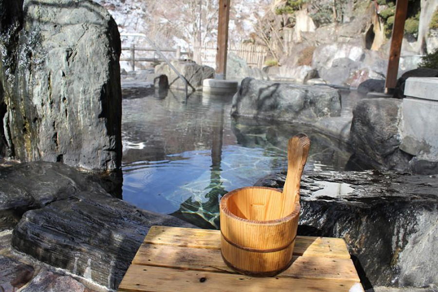
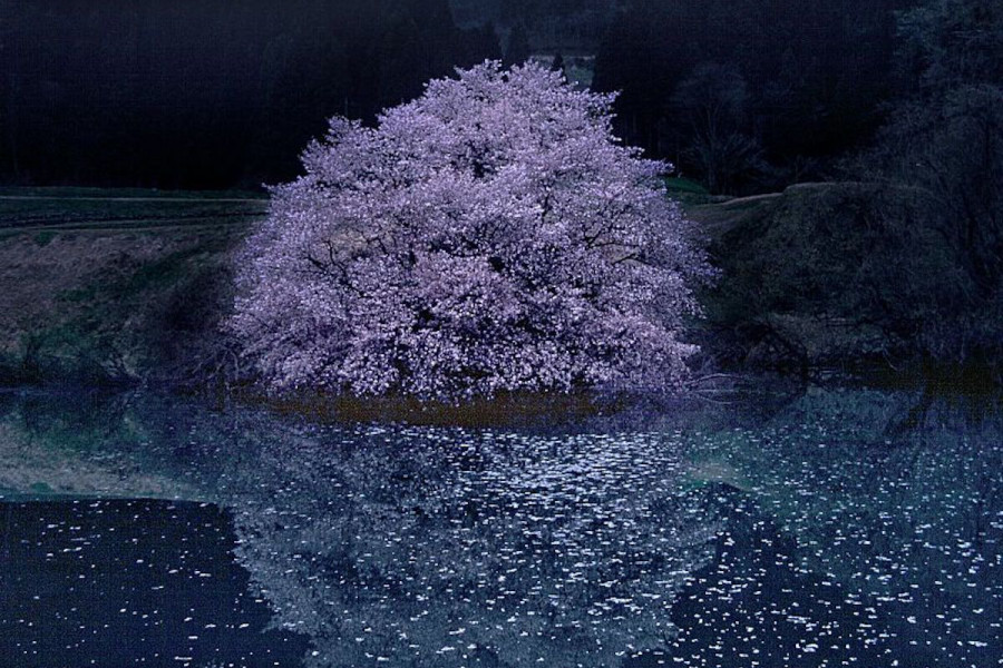
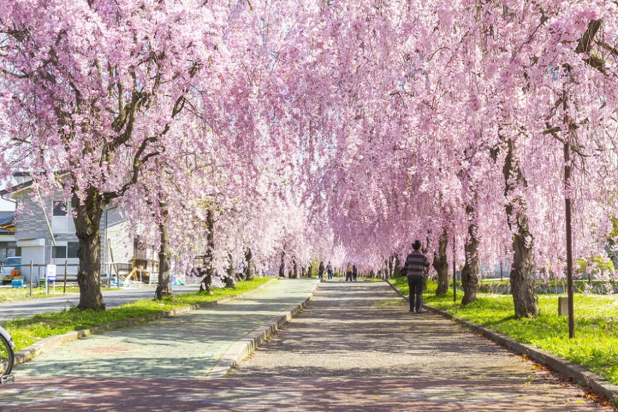
Get the full springtime cherry-blossom viewing experience on this two-day adventure through Fukushima. You'll hit all the major sites of the area and then even relax in a luxurious onsen! Your trip begins at Kitakata Station; from there you will walk to the start of the Nicchu Line walking path. This spot is famous for its over 1,000 cherry trees stretching along both sides of the 3 km-long road and park. Nicchu Line makes for a magical vista with cherry petals falling like fresh snow against a backdrop of springtime colors and fresh air. From there, travel on to Kyu Kai Honke Zurashiki to see the early 20th-century kura-style residences. Admire the architecture and quality lacquer work on the building. Finish the day with a sake brewery museum tour at Yamatogawa Brewery. No springtime cherry blossom viewing party in Japan is complete without the famous Japanese alcohol. Finish your two-day trip at the fantastic Higashiyama Onsen town where you can relax at any number of hotels or ryokan-style inns. It’s a truly Japanese spring experience.