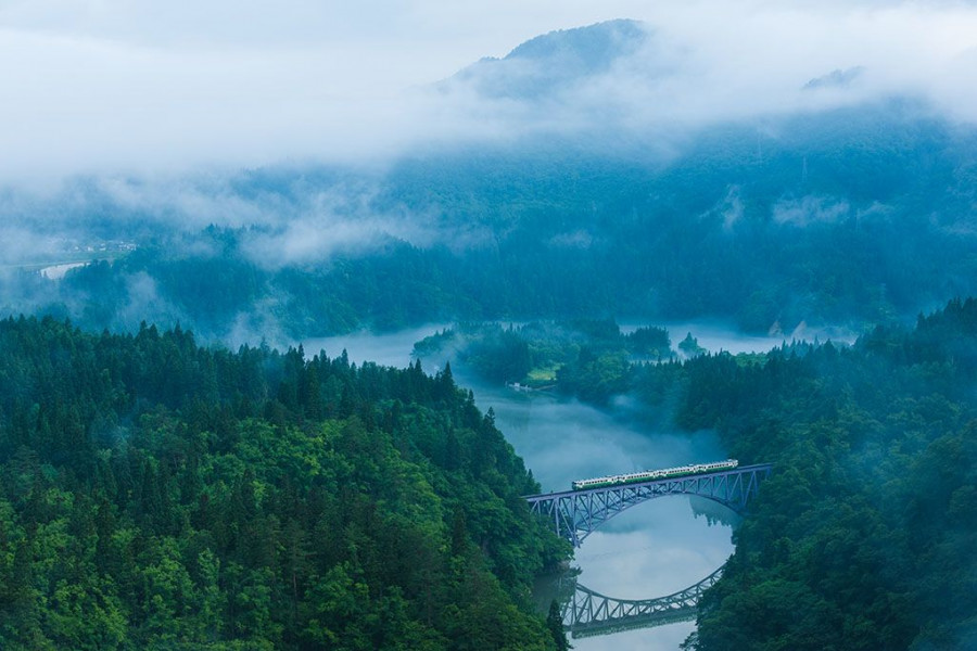
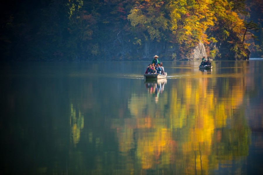
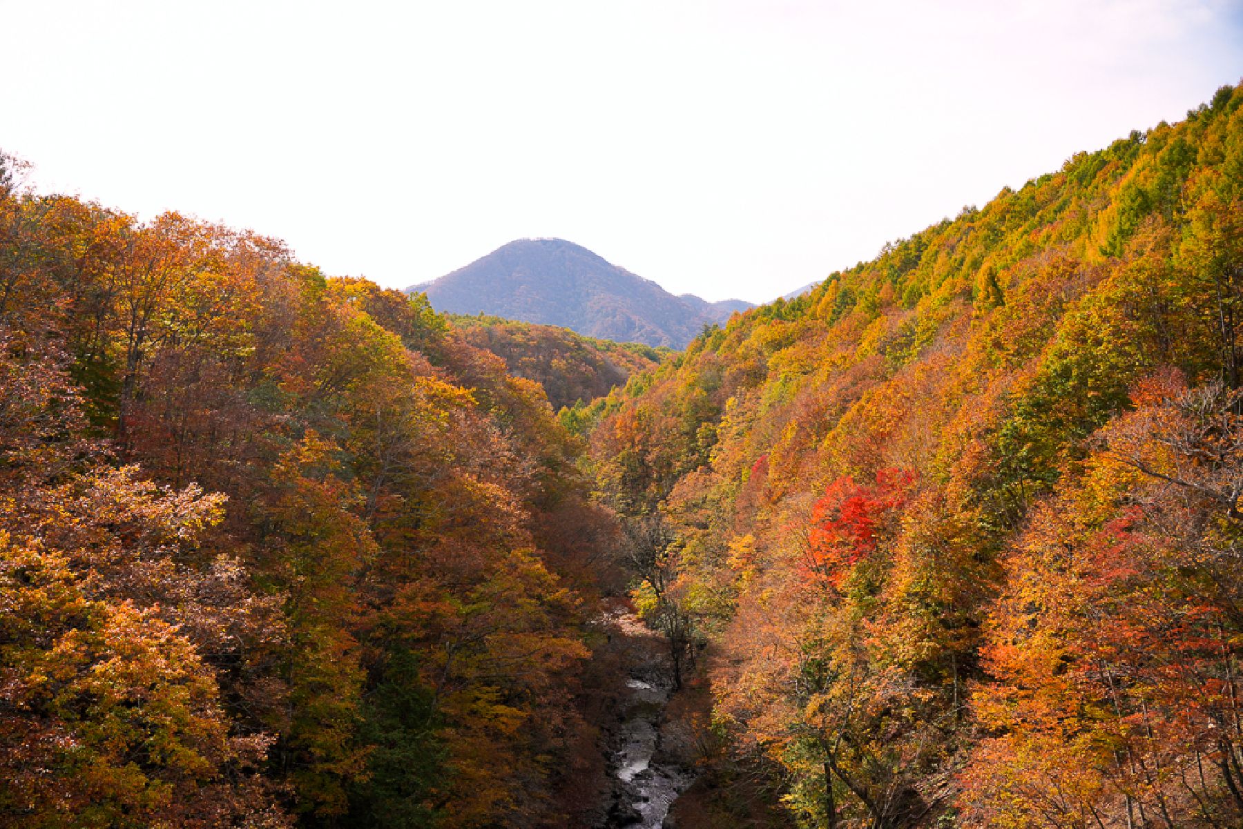
Nature & Scenery
Inawashiro Herb Garden
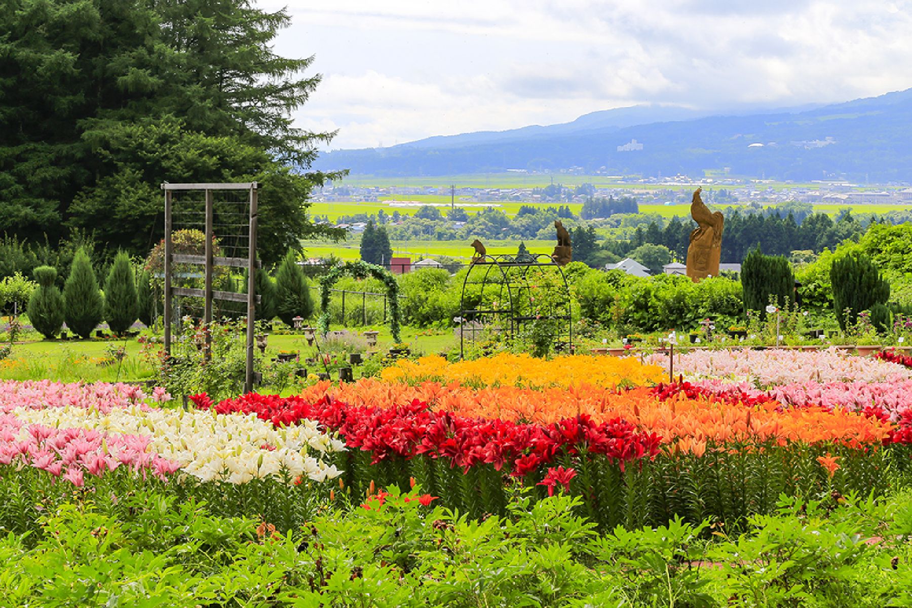
The breeze from the nearby Lake Inawashiro, seasonal flowers, and art displays of the Inawashiro Herb Garden await your visit!The outdoor garden area is around 100,000 square meters and is filled with various herbs, flowers, and plants that bloom at different times on the year, creating a unique visitor experience that changes with the seasons. The park has around 500 varieties or herbs, flowers, and plants including lavender, mint, chamomile, nanohana blossoms, poppies, sunflowers, cosmos, and kochia! There is an indoor greenhouse area, so, even on rainy days, visitors have plenty of greenery and flowers to see! In addition to the herbs, flowers, and plants you will also find seasonal decorations and original art displays that are created and updated for guests to enjoy.The outdoor garden area of the Inawashiro Herb Garden also features 5 m-tall wooden statues carved by a Canadian artist, Glen Greenside. The 12 statues, one for each zodiac sign, were carved over the course of twelve years as part of a now-discontinued annual chainsaw festival that took place at the garden.Inside, at the shop, visitors can find products and snacks that are made from various herbs and flowers.